4.1 km return via same track
During winter this area may be covered in snow.
Note that this track is located in Arthur’s Pass National Park. It is a different location to Woolshed Creek Hut in Mt Somers.
Woolshed Hill Track starts at Hawdon Shelter Campsite. Behind the shelter, take the link track on the right hand side, following orange markers along the terrace to Kidson Lodge. Look for the orange triangle marking the track as it starts to climb up Woolshed Hill. There are other colours of markers in the area which are used to mark traplines, stick to the orange markers to stay on the track.
The track leads steeply up Woolshed Hill, climbing over 600 vertical metres in just 2 km.
The track is rugged and requires scrambling over tree roots. We recommend sturdy shoes with good grip, and packing plenty of water. Walking poles can also be helpful.
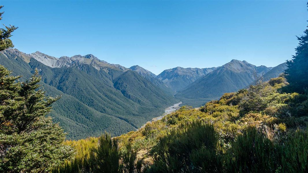
The track ends above the bush line at around 1200 m elevation, with excellent views over the Hawdon Valley, and out to the Waimakariri River and surrounding mountains.
There is no DOC track beyond this point to the summit of Woolshed Hill. Beyond the bush line, you are more likely to encounter strong winds, ice and snow. It is exposed and steep.
If you plan to go beyond the end of the track, make sure the weather conditions are good, including good visibility. You will need alpine off-track tramping and route-finding experience and equipment.
There are additional hazards in winter, including snow, ice, freezing temperatures and avalanche risk.
Follow SH 73 to the signposted turnoff to Mt White, from here follow the gravel road over the bridge and take the first left to Hawdon Valley. The track starts at Hawdon Shelter Campsite.
This is a very steep track
The track gains a lot of height in a short distance, it is best suited to people with good fitness. It is uneven and you will need to scramble up/down tree roots.
Bealey Spur Track is an easier alternative.
Check the weather
This is an alpine area and extreme, fast-changing weather is common. During winter there is often snow and ice. In summer it can get very hot and there are often strong winds above the bush line.
The tree roots on the track are extremely slippery when they are wet.
Check the forecast for Arthur’s Pass National Park.
Regardless of the forecast, pack well for this day hike. Always carry warm and waterproof clothing, spare food, plenty of water, a map, sturdy hiking shoes with good grip, sun protection, emergency equipment and a torch. Walking poles may be helpful. Day hikes packing list.
There are additional hazards in winter, including snow and avalanche risk
This is an alpine area and there can be snow and ice in winter. There is simple avalanche terrain on the track – read more about avalanche risk in Arthur’s Pass.
If you are considering attempting this track in winter, talk to the Arthur’s Pass Visitor Centre about current conditions. If snow is present you will need an ice axe and crampons.
The track passes through a layer of red beech forest, which is an important habitat for kākāriki, kākā and mohua/yellowhead.
Arthur's Pass National Park Visitor Centre
| Phone: | +64 3 318 9211 |
| Email: | arthurspassvc@doc.govt.nz |
| Address: | 104 West Coast Road Arthur's Pass 7654 |
| Hours: | Visitor centre hours and services |
