3.8 km loop
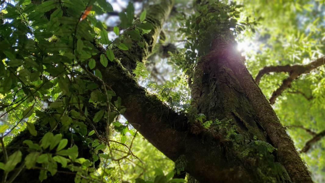
This gently graded walk with some impressively large rimu trees is suitable for walking children - it's not suitable for strollers or wheelchairs.
It starts from the opposite side of the road near the carpark.
Side trip: Mountain Road to Whataroa Falls
Time: 60 min one way
For the slightly more agile a well marked route branches off the Rimu Loop Walk after 15 minutes and undulates through the forest to the Whataroa Falls. The waterfall is a popular swimming hole and picnic spot. Explore this lovely stream with cascades and pools before returning the same way.
Beyond the waterfall this track goes north to the main ridge track which leads to Otawa Scenic Reserve. It is around 18.5 km or 9 hours to Upper Papamoa Road. For a map and further information contact the local DOC office.
Located south of Tauranga and Te Puke.
Take Oropi Road south from Tauranga and turn onto Mountain Road just past Oropi. There is a small car park, public shelter, toilet and picnic area by the road. Alternatively, access Mountain Road from No 2 Road near Te Puke.
No mountain biking permitted.
DOC Customer Service Centre
| Phone: | 0800 275 362 |
| Email: | taurangainfo@doc.govt.nz |
| Address: | Tauranga Office |