The starting point is the entrance on the true right bank of the stream at the northern end of the recreation reserve. This is marked by the walkway sign.
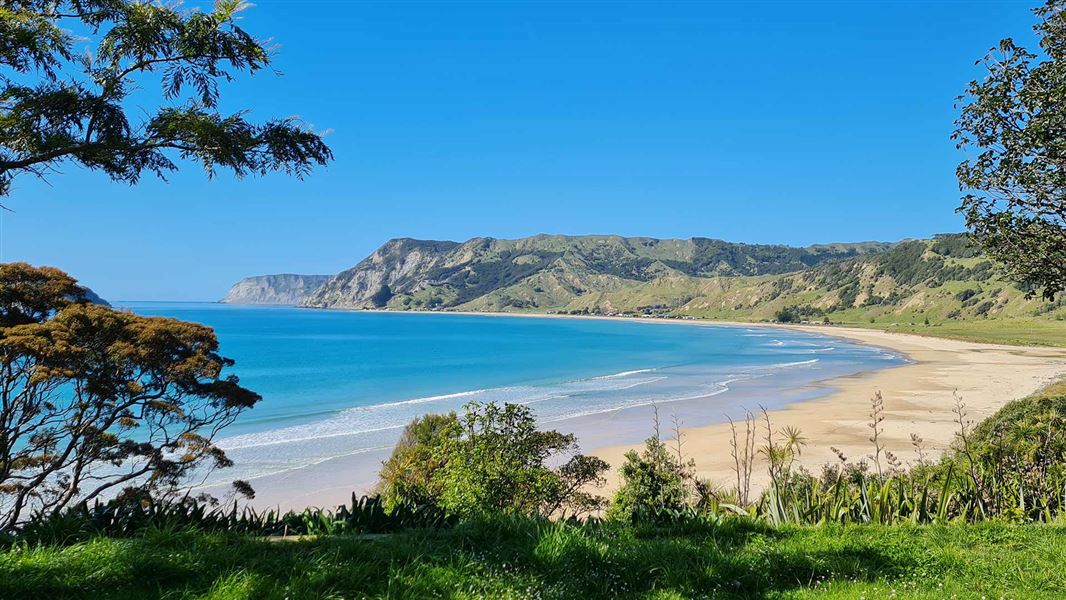
After crossing a stile, the track winds up through young coastal forest with abundant birdlife to an open farm paddock. A short climb through the paddock, with some steep sections, leads to a saddle on the ridge. From here, there are panoramic views of Anaura Bay, Motuoroi Island and the coastline to the south.
The second half of the loop remains closed due to track damage from Cyclone Gabrielle and a large number of fallen trees.
The walkway is located at the northern end of Anaura Bay.
To get to Anaura Bay, turn off SH35 onto Anaura Road, about 67 km north of Gisborne. Travel a further 8.7 km down Anaura Road.
There are water crossings above ankle height in the Waipare Stream. Take extreme care when crossing the streams.
Only walk the track in dry conditions, the track is very slippery when wet.
The walkway may be closed at the discretion of the landowners due to fire risk.
The track is boggy in one area approximately half way into the track.
A large section of the track passes through an old pine forest. Do not walk the track in windy conditions because branches or trees may fall.
DOC Customer Service Centre
| Phone: | 0800 275 362 |
| Email: | gisborne@doc.govt.nz |
| Address: | Tūranganui-a-Kiwa / Gisborne Office |