8 km return via same track
Brochures
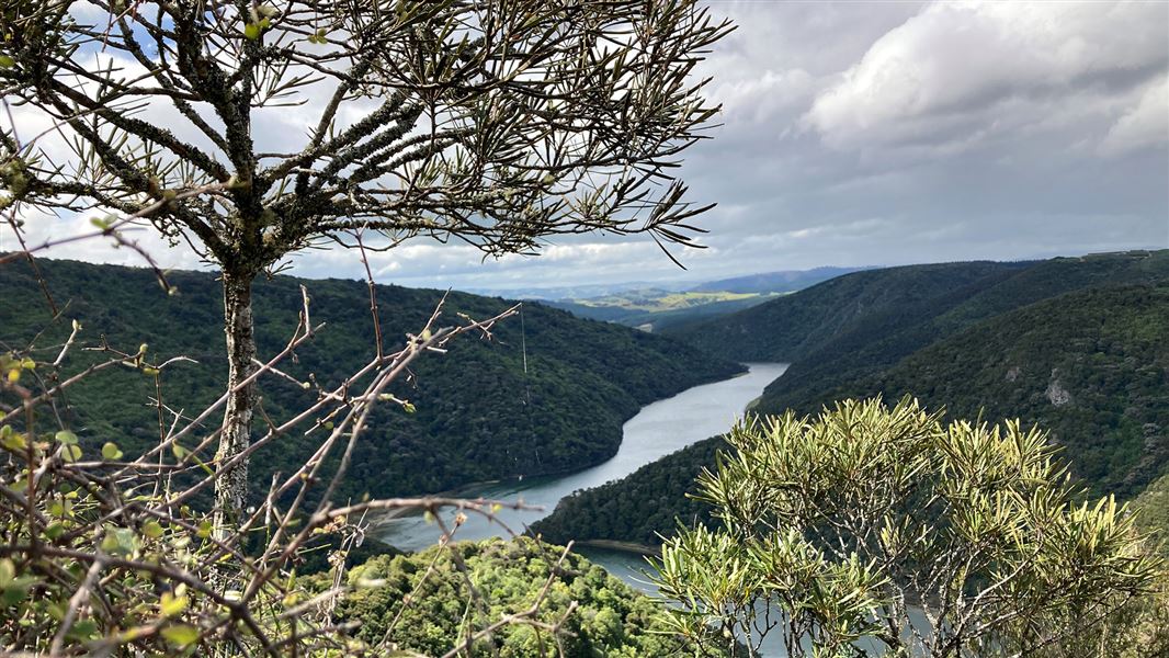
The 8 km Taieri River Gorge reaches inland from the river mouth. The Taieri River Track is a 4km undulating walk one way to reach the John Bull Gully picnic area.
The track passes through several different types of vegetation and terrain. Because of the river's tidal nature in its lower reaches, the track's early stages passes both freshwater and saline plant life.
As it climbs a little it enters a lush podocarp forest with superb specimens of Halls totara, tree fern/kātote and miro. There are also good stands of healthy, regenerating kahikatea, New Zealand’s tallest native tree. As kahikatea thrives in fertile soil, that has usually become farmland, regenerating stands like this are very rare.
After the forest the track passes through open shrubland to then cut downhill and finish at John Bull Gully picnic area. There’s a choice of returning the same way for great views of Taieri Mouth and Moturata/Taieri Island or carrying on in the same direction for approximately 4 km on the Clutha District Council’s Millennium track, which links with Taieri Ferry Road that, in turn, comes out on SH1.
To reach Taieri Mouth take the coastal road, south of Dunedin, via Green Island and Brighton to Taieri Mouth. Cross the bridge and turn right to reach the track start.
- The track can be muddy and slippery in some parts – good footwear is essential.
- The Taieri River is prone to flooding during periods of heavy rain fall. Avoid the area during and immediately after periods of heavy rain.
DOC Customer Service Centre
| Phone: | 0800 275 362 |
| Email: | dunedinoffice@doc.govt.nz |
| Address: | Ōtepoti / Dunedin Office |
