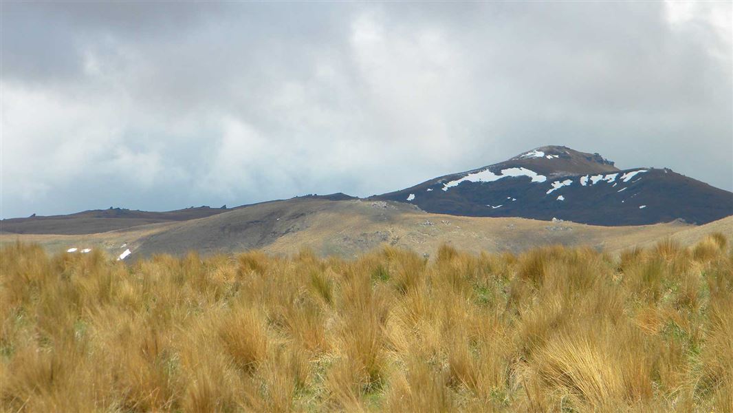
The Pomahaka Conservation Area (approximately 3,317 ha) is located on the eastern side of the Umbrella Mountains.
This conservation area’s spaciousness allows for seemingly limitless views of the surrounding block fault mountain ranges, scenic river corridors and rural landscapes with their parkland qualities.
The Pomahaka Conservation area lies on the eastern side of the Umbrella range between Roxburgh and Ettrick, SH8; off Aitcheson Runs Road in the Upper Catchment of the Pomahaka River, 32 km from Ettrick (42 km from central Roxburgh).
There are various entry points on gravel road from SH8 to the Pomahaka Conservation Area.
From Ettrick the most direct is following Moa Flat road (opposite Turners and Growers warehouses) right onto MacKay Road and finally right onto Aitchenson Runs Road.
The Pomahaka bridge marks the start of the 4.7km 4WD road access to the carpark at the Cattle Yards. The road from the bridge to the carpark with road slumps and two fords is more suited for 4WD vehicles. This road passes through a working farm. When using the access road be mindful of farming operation, including the landowners request to avoid using the road over the lambing/calving period from 20 October to 20 November annually.
Dogs are permitted in the main conservation area but need permission from Gem Lake Station. Contact the station to enter via the easement track. Dogs must be dosed against sheep measles and a certificate must be supplied. How to obtain a sheep measles certificate.
This public access track crosses through a working high country station. Respect the landowner’s livestock and property; stay on the marked track until you reach the conservation lands, leave gates as you find them and use stiles where provided.
In this area summers tend to be mild and winters are cold with frequent frosts. Moderate rainfall throughout the year is mostly from the southwest and fog is common at any time of year. In summer carry plenty of water.
The higher country is subject to snow during the winter months and some sections may be prone to avalanche danger.
Rivers in this region can rise rapidly, if crossing be prepared to wait if necessary.
Fires are not permitted.
There are no huts in the conservation area, camping is permitted. Responsible camping rules apply – carry in, carry out, leave no trace. Camping is permitted on conservation land only.
Though possibly some of the least known tailings and gold workings in Central Otago, evidence suggests that miners were active in the upper Pomahaka from 1863 late into the 1890s with some tailings and gold workings being worked by a small number of men for a surprising length of time.
The area was noted for the use of water race systems but was generally not involved in the hydraulic elevating and dredging booms of the 1890s and early 1900s; possibly due to the remoteness.
Unlike in the Nevis and at Carricktown, the Pomahaka gold workings had no named or surveyed township areas.
The climate in this area was harsh, weather extremes of the Otago ranges especially in winter often resulted in many deaths. A monument was erected in 1928 near the main highway at Gorge Creek, Bains block conservation area to those that perished during a snow storm in August 1863.
There are few historical mining sites recorded within the actual boundary of the conservation area though there are some within the marginal strip – these sites typical of 19th century mining show small areas of ground sluicing and associated tailings.
There are no recorded Māori sites in this area although there are recorded sites in the wider Umbrella region.
Wānaka Tititea/Mount Aspiring National Park
Visitor Centre
| Phone: | +64 3 443 7660 |
| Email: | wanakavc@doc.govt.nz |
| Address: | 1 Ballantyne Road Wānaka 9305 |
| Hours: | Visitor centre hours and services |
