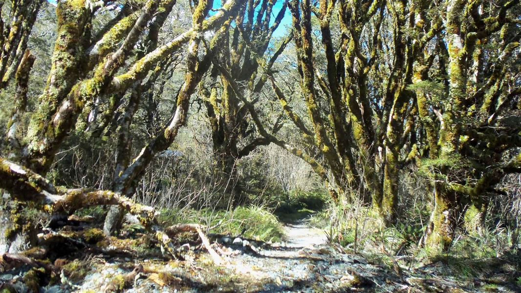
From the Routeburn shelter carpark, cross the Route Burn on the swingbridge and follow the main Routeburn Track for approximately 10 - 15 minutes. A marked turnoff on the left takes a winding path down from the main track onto the valley floor, where you pass through beautiful red beech/tawhero dominated forest.
After meandering its way through this flat area for 10 - 15 minutes, the track rejoins the main Routeburn Track at Sugarloaf Stream. From here you can either carry on across the Sugarloaf swingbridge up the Routeburn Track, or turn back and follow the main track back to the carpark (20 - 30 minutes).
The end of the Glenorchy-Routeburn Road, some 35 minutes from Glenorchy. This road is narrow through the forest and may not be suitable for large campervans. The last section of the road is gravel.
Whakatipu-wai-Māori/Queenstown Visitor Centre
| Phone: | +64 3 442 7935 |
| Email: | queenstownvc@doc.govt.nz |
| Address: |
50 Stanley Street |
| Hours: | Visitor centre hours and services |