2.6 km to Maunganui Bluff | 5.3 km to Waikara Beach one way
Easy to intermediate walking track
Advanced tramping track
Image gallery
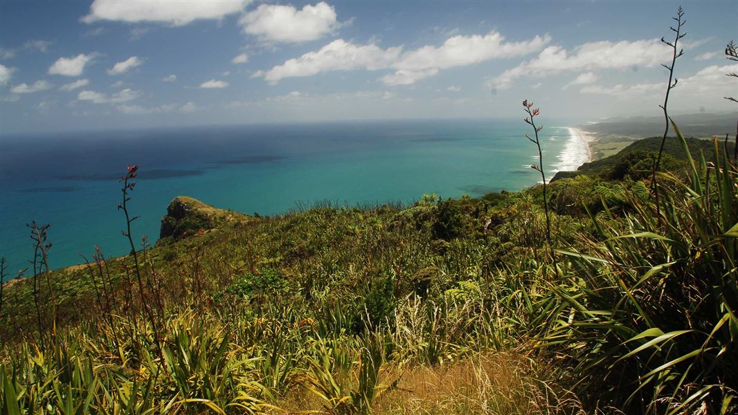
Beginning from Aranga Beach this track zigzags up the impressive volcanic remnant known as Maunganui Bluff. Turn around at the summit or continue north to Waikara Beach.
From the summit, the track descends into the Waitapu Saddle, then climbs once more before heading down onto the beach. There is a camping area but no facilities at the end of the track. Return the same way as there is no road access to this end of the track.
From Dargaville head north on SH12 for 36 km, then turn onto Aranga Coast Road and follow this for 6.5 km. The track starts at the end of Aranga Coast Road at Aranga Beach.
There is no road access to the northern end of the track - you must plan for a return trip.
Access further north along the coastline is limited to the intertidal zone, ie wet sand. The land above the high tide mark is private land and trespassers may be prosecuted.
Stay safe in the outdoors
- Choose the right trip for you. Learn about the route and make sure you have the skills for it.
- Understand the weather. Check weather forecasts.
- Pack warm clothes and extra food. Check gear lists.
- Share your plans and take ways to get help. Leave your intentions with a trusted contact and take a distress beacon.
- Take care of yourself and each other.
DOC Customer Service Centre
| Phone: | 0800 275 362 |
| Email: | dargaville@doc.govt.nz |
| Address: | Te Tai Kauri / Kauri Coast Office |