Note: True left and true right refer to the side of the valley or river when facing and looking downstream.
The track starts 3 km from the car park. From the car park head towards the hops farm buildings. Follow the marked track along the true right of the Matakitaki River.
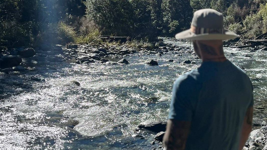
On your left is Watson Creek Route, cross the Matakitaki River to take you to the true left.
Follow the route along the bottom of the steep hill on your right. It will lead you to a small saddle on a well benched track and then down the other side into the Nardoo Creek.
The track will dip in and out of the riverbed before you follow the river itself.
There is a section of the river which is impassable. Take a higher marked route to traverse this section. This is roughly where the river course will lead you southwest rather than south.
Climb in and out of the creek for another 2.5 km to the bush line. When you come out of the bush, keep climbing through the tussock for another 100 m in altitude. Keep a look out to the south for Nardoo Hut on the bush hedge.
Turn off SH6 at Longford onto the Mangles Valley Road. Follow this to Tutaki Road South and then turn right. Continue until it becomes Mole Road.
At a sharp right hand turn in the road you’ll see a small farm road heading off to your left. Follow this for 700 m until you see the carpark.
Stay safe when crossing rivers
If you plan to cross unbridged rivers, know how to cross safely and be prepared for if you cannot cross.
Do not cross if the river is flooded, you cannot find safe entry and exit points or are unsure it’s safe. Turn back or wait for the river to drop. If in doubt, stay out.
NIWA river flow forecasts: View a video of national followed by regional river flows
Stay safe in the outdoors
- Choose the right trip for you. Learn about the route and make sure you have the skills for it.
- Understand the weather. Check weather forecasts.
- Pack warm clothes and extra food. Check gear lists.
- Share your plans and take ways to get help. Leave your intentions with a trusted contact and take a distress beacon.
- Take care of yourself and each other.
Nelson Lakes National Park Visitor Centre
| Phone: | +64 3 521 1806 |
| Email: | nelsonlakesvc@doc.govt.nz |
| Address: | View Road St Arnaud 7072 |
| Hours: | Visitor centre hours and services |
Nelson/Tasman/Marlborough information
| Phone: | +64 3 546 9339 |
| Email: | nelsonvc@doc.govt.nz |
| About: | Whakatū/Nelson visitor services provide information for this area |