The access road into the Mount Arthur area (Graham Valley Road) is steep and narrow and prone to corrugations and slips – check any alerts for road status. During the winter months a 4WD vehicle is recommended to access Flora carpark. Chains may be needed if snow and ice are present
Image gallery
Walking options
- Walk as far as Gridiron shelter (1 hour 30 minutes) and stay overnight in a rock overhang – great for children.
- For an easy overnight tramp that's good for older children, walk to Salisbury Lodge and explore nearby caves and potholes. Return via the same track.
Flora car park to Upper Junction to Salisbury Lodge
Time: 4 hr
Distance: 14 km
Approximately 45 minutes walk from Flora Hut is a site, not signposted, that has in the past been referred to as Bishop’s Pool, said to be where Bishop Suter of Nelson bathed while on a visit to the Tableland diggings in 1871. After a further 30 minutes, you will find the Gridiron Hut and Shelter — together they accommodate seven people.
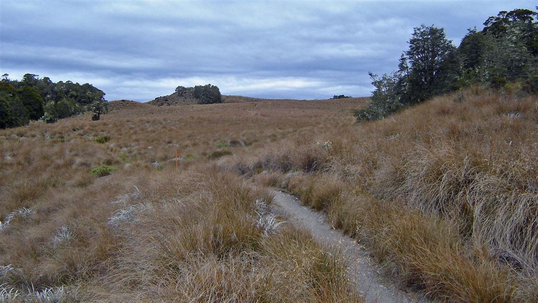
Take the left fork at Upper Junction (about 2 hours down from Flora Hut) and begin a steady climb. The track passes Growler Shelter after about 30 minutes and the forest becomes ever sparser until you emerge suddenly on the tussocklands known as Salisbury’s Open.
A short side track leads to Dry Rock Shelter that will accommodate four people. Salisbury Lodge is 20 minutes further on, across the open tussock.
Salisbury Lodge - Gordons Pyramid - Mt Arthur Hut - Flora car park
Time: 5 - 6 hr
Distance: 14 km
This route is strenuous and exposed, requiring good visibility. The views are superb. There is no water, so you must carry your own.
From Salisbury Lodge walk back to the Gordons Pyramid signpost. Follow the track through forest up to the bushline. A marked route then leads over Gordons Pyramid (1489 m) and follows a defined ridge before dropping into Horseshoe Basin. From here the route climbs up to the ridge above Mt Arthur Hut, then through forest to Flora car park.
Cloustons Mine, an old mine, can also be accessed from this route by dropping down to the bushline from the top of Gordons Pyramid and following the track markers.
Side trip: Balloon Hut
Time: 1 hr 30 min
Distance: 4 km
Side trip: The Potholes
Time: 1 hr 30 min return
Distance: 3 km
From Salisbury Lodge walk back to the Gordons Pyramid signpost. Enter the forest and turn right at the Potholes sign. Poles lead through a chain of sinkholes, passing Sphinx Creek (which disappears into a cave), bringing you out in Sphinx Gully, not far below the lodge.
Other options
Lake Peel
The Tableland Circuit connect with Lake Peel tracks
Upper Junction - Cobb Road
Time: 3 hr one way
From Upper Junction walk down to Lower Junction. Take the left branch of the track, cross Broken Bridge over the Takaka River and exit to the Cobb Road via the old asbestos works or Bullock Track and Cobb Ridge.
Flora car park is 75 km from Nelson and 36 km from Motueka.
The Motueka Valley Highway links Nelson and Motueka. Turn off this road at Ngātīmoti and cross the Motueka River. Turn left onto Motueka River West Bank Road, then right into Graham Valley Road, which climbs steeply to the car park. The last 5.8 km is unsealed and turning a vehicle on the road can be difficult. 4WD is recommended at all times of the year.
Keep to the lower Flora valley in poor weather or if you are inexperienced.
Stay safe in the outdoors
- Choose the right trip for you. Learn about the route and make sure you have the skills for it.
- Understand the weather. Check weather forecasts.
- Pack warm clothes and extra food. Check gear lists.
- Share your plans and take ways to get help. Share directly or use the Outdoor Intentions form or Plan My Walk. Take a distress beacon.
- Take care of yourself and each other.
Whakatū/Nelson Visitor Centre
| Phone: | +64 3 546 9339 |
| Email: | nelsonvc@doc.govt.nz |
| Address: | Millers Acre/Taha o te Awa 1/37 Halifax Street Nelson 7010 |
| Hours: | Visitor centre hours and services |
