7.8 km
Image gallery
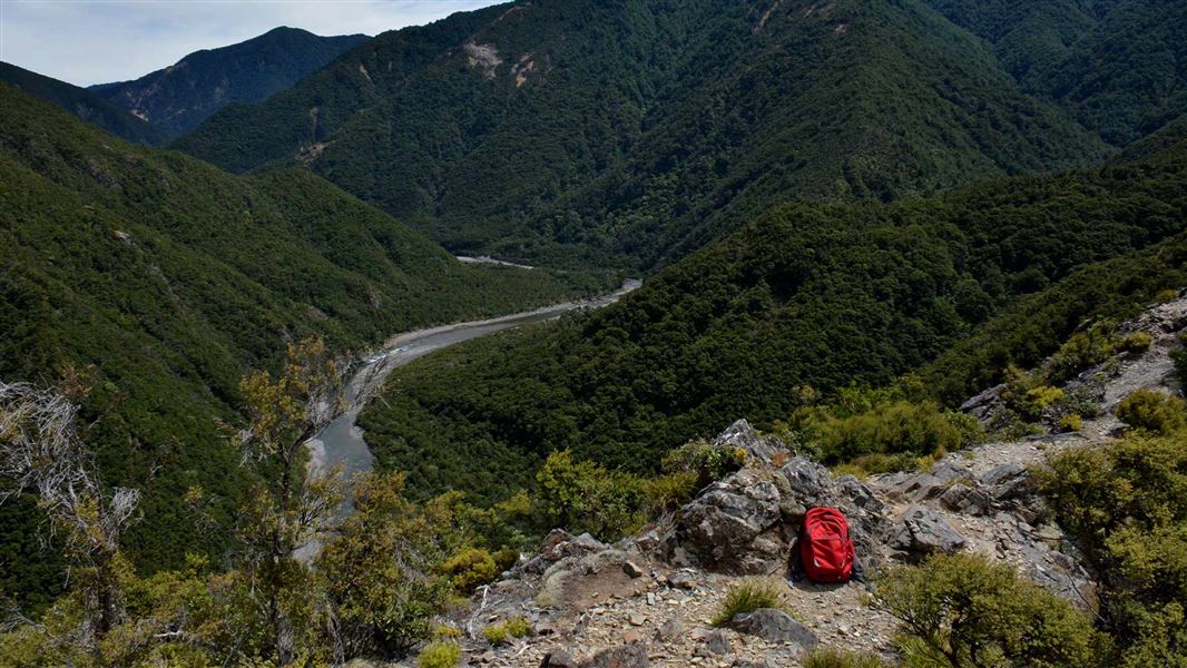
This track starts at Cameron car park. It climbs steeply through manuka forest, then crosses a broad, tussock saddle and herbfield to reach the summit of Kuripapango. Mt Kuripapango can also be reached by the "Lakes" carpark (allow 3/4 hour to reach Mt Kuripapango).
From Mt Kuripapango, the track continues northwest along the Smith-Russell Track to reach a high point of 1359 metres. From here the track descends then ascends again to the junction of the Cameron Hut Track. Kiwi Saddle Hut is reached at the foot of an exposed ridge.
The location of Kiwi Saddle Hut offers trampers an excellent weekend base or stop-over point. At times of high-water flow levels, the Ngaruroro riverbed route becomes impassable and Kiwi Saddle offers a useful alternative.
Kiwi Saddle can provide a round trip experience for trampers departing Cameron carpark and travelling to Kiwi Mouth or Cameron Hut via the Ngaruroro River one way and returning Kiwi Saddle (or vice versa).
Kiwi Saddle can also provide a stop-over on more adventurous tramps to access the main Kaweka Range from the south. Trampers can continue on to Manson Hut via Kiwi Mouth Hut.
Cameron Carpark is located approximately 70 km from Napier on the Napier/Taihape Road (just before Kuripapango).
Kaweka Forest Park access conditions
We recommend 4WD vehicles to reduce wear on the road and safe travel.
- Lotkow Road: The river crossings are regularly changing, check before crossing.
- Lakes carpark is accessible via Kuripapango road. The previous access Castle Rock road is now closed due to ongoing forestry operations.
- Lawrence Carpark access road: The last 600 m of the road is steep and not recommended for 2WD vehicles - a parking space is available before the descent. The Lawrence swing bridge has been removed.
- Mackintosh car park is currently closed due to ongoing forestry operations. A new parking location can be located at a skid site near the closed gate (end of Kuripapango Road), this will add on 500 m walking to reach the start of the track.
- Whittle Road: Be aware of trucks using the quarry. Give them right of way where possible.
Be ready for mountain weather
This is a mountainous area. Visitors should be prepared for sudden weather changes, whiteouts, high winds on the ranges and rapidly rising water levels in rivers and streams.
Check the weather before you go. Kaweka J Summit weather forecast
Pack for all conditions and be ready for weather delays, including with an emergency shelter, spare food and a distress beacon. Packing lists
Fires
Extreme fire conditions can exist during summer. The park is a restricted fire area, which means permits to light fires are required all year round.
This is a backcountry tramping track
The Kaweka Forest Park tramping tracks are backcountry tracks. They are typically rough and require high level backcountry skills and experience (including navigation and survival skills). You will need sturdy tramping boots with good grip.
Maps
The Land Information New Zealand (LINZ) topographical maps that cover the Kaweka Forest Park are:
Topo50 map BH36 - Motutere
Topo50 map BH37 - Rangitaiki
Topo50 map BH38 - Te Haroto
Topo50 map BJ36 - Tawake Tohunga
Topo50 map BJ37 - Kuripapango
Topo50 map BJ38 - Te Pohue
Topo50 map BK37 - Tikokino
DOC Customer Service Centre
| Phone: | 0800 275 362 |
| Email: | napier@doc.govt.nz |
| Address: | Ahuriri / Napier Office |