7.4 km return via same track
Image gallery
This track starts at Cameron Carpark. Just before the water gauge a track turns to the right and climbs steeply through manuka forest. The track then crosses a broad, tussock saddle and alpine herbfield to reach the summit ridge. Tracks at the trig branch northwest to Kiwi Saddle Hut, and east to the Lakes Carpark.
It is a 1 hr walk back down to track to the car park.
Cameron Carpark is located approximately 70 km from Napier on the Napier/Taihape Road (just before Kuripapango).
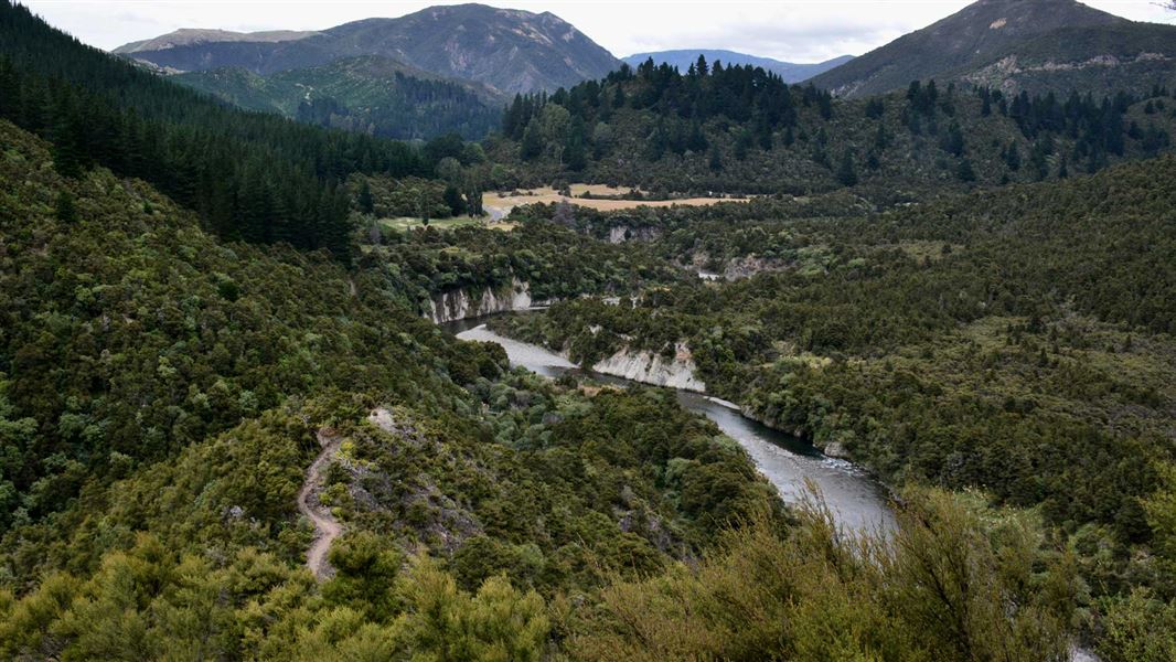
Kaweka Forest Park access conditions
We recommend 4WD vehicles to reduce wear on the road and safe travel.
- Lotkow Road: The river crossings are regularly changing, check before crossing.
- Lakes carpark is accessible via Kuripapango road. The previous access Castle Rock road is now closed due to ongoing forestry operations.
- Lawrence Carpark access road: The last 600 m of the road is steep and not recommended for 2WD vehicles - a parking space is available before the descent. The Lawrence swing bridge has been removed.
- Mackintosh car park is currently closed due to ongoing forestry operations. A new parking location can be located at a skid site near the closed gate (end of Kuripapango Road), this will add on 500 m walking to reach the start of the track.
- Whittle Road: Be aware of trucks using the quarry. Give them right of way where possible.
Be ready for mountain weather
This is a mountainous area. Visitors should be prepared for sudden weather changes, whiteouts, high winds on the ranges and rapidly rising water levels in rivers and streams.
Check the weather before you go. Kaweka J Summit weather forecast – NIWA website
Pack for all conditions and be ready for weather delays. Packing lists
Expect a rough, slippery track
This is a backcountry tramping track and it is rough, muddy and slippery (especially after rain). It is best suited to experienced trampers with backcountry skills. You will need sturdy boots with good grip.
Be aware that there are some steep drops beside the track.
Fires
Extreme fire conditions can exist during summer. The park is a restricted fire area, which means permits to light fires are required all year round.
Maps
The Land Information New Zealand (LINZ) topographical maps that cover the Kaweka Forest Park are:
Topo50 map BH36 - Motutere
Topo50 map BH37 - Rangitaiki
Topo50 map BH38 - Te Haroto
Topo50 map BJ36 - Tawake Tohunga
Topo50 map BJ37 - Kuripapango
DOC Customer Service Centre
| Phone: | 0800 275 362 |
| Email: | napier@doc.govt.nz |
| Address: | Ahuriri / Napier Office |