Fires are not allowed at any time. See fire rules on conservation land.
Image gallery
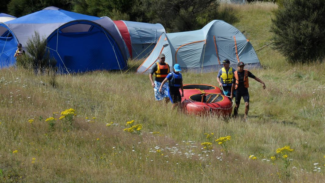
This is a secluded and sheltered campsite located at the edge of the Kaweka Forest Park and adjacent to the Ngaruroro River. Have a go at rafting or fishing.
Fees
Free.
Beside Napier-Taihape Rd near Kuripapango. 1 km gravel road off main road towards the river.
Kaweka Forest Park access conditions
We recommend 4WD vehicles to reduce wear on the road and safe travel.
- Lotkow Road: The river crossings are regularly changing, check before crossing.
- Lakes carpark is accessible via Kuripapango road. The previous access Castle Rock road is now closed due to ongoing forestry operations.
- Lawrence Carpark access road: The last 600 m of the road is steep and not recommended for 2WD vehicles - a parking space is available before the descent. The Lawrence swing bridge has been removed.
- Mackintosh car park is currently closed due to ongoing forestry operations. A new parking location can be located at a skid site near the closed gate (end of Kuripapango Road), this will add on 500 m walking to reach the start of the track.
- Whittle Road: Be aware of trucks using the quarry. Give them right of way where possible.
Location
60 km inland from Napier.
NZTM2000 coordinates: E1886289, N5634867
Latitude: -39.38822551, Longitude: 176.3240693
Only permitted hunting dogs are allowed
Kiwi are known to live in this area. Dogs are not allowed unless they are there for hunting purposes, have proof of current kiwi aversion training and a hunting permit (see Kaweka Forest Park hunting to get a permit). Compliance rangers will be doing random checks.
The nearby Ngaruroro River provides opportunities for fishing, rafting and swimming.
DOC Customer Service Centre
| Phone: | 0800 275 362 |
| Email: | napier@doc.govt.nz |
| Address: | Ahuriri / Napier Office |