The marine reserve was established in 1999 and is 2,452 hectares. Weather and sea conditions in this area can change quickly. See the Know before you go section below for more information.
Image gallery
Video
Te Tapuwae o Rongokako marine reserve is on the east coast of the North Island, approximately 16 km north of Gisborne.
You can get to the reserve from SH35, public access at Pouawa. .
Weather can change quickly
Weather and sea conditions can change rapidly – be prepared by checking the local tide tables and the weather forecast.
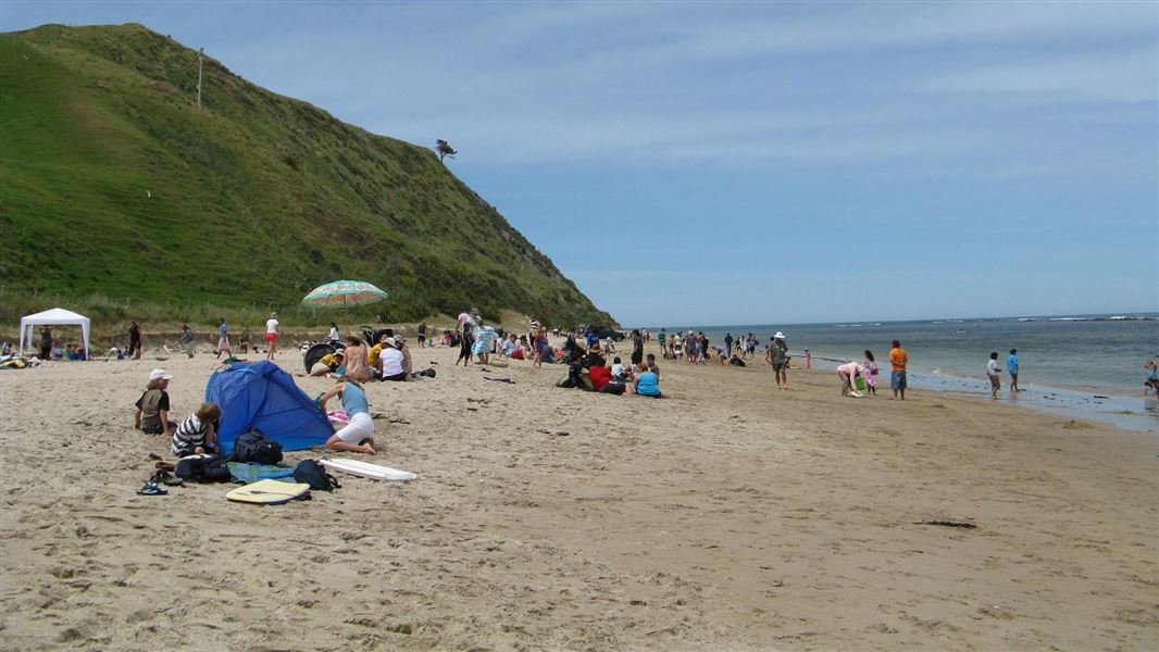
In adverse weather conditions we recommend you do not walk along the beach at Te Tapuwae o Rongokako due to the risk of landslides.
Dogs
Dogs are allowed. But be considerate of the native shore birds which breed at the Pouawa river mouth between August and Feburary
Private land
Be aware of private land. The beach above the strand line of the seaweed is private land. The pa and farmland are private property and there is no public access.
Low tide is best for snorkelling and beach-walking
Low tide is best for beach-walking and also for snorkelling or shore-diving, as the reef platform can be almost completely cut off from the open sea at low tide, creating a shallow and sheltered area for entering the water and for exploring the rocky shore.
The subtidal area of the reserve contains several distinct habitats. Down to about 10 metres in depth, a variety of seaweeds such as flapjack and kelp can be found and kina, marine snails, sponges and other animals are common. Fish species include:
- spotties/paketi
- banded wrasse/tangahangaha
- red moki/nanua
- hiwihiwi
- butterfish/greenbone marari)
- marblefish/kehe
- parore.
You may see hundreds of tiny crayfish in the crevices and overhangs, depending on the time of year. At between 10 and 20 metres depth, there are extensive kelp forests, which are home to many different fish species, such as:
- scarlet wrasse/puwaiwhakarua
- scorpionfish
- sweep/hui
- leatherjackets/kokiri.
Sponges, hydroids, anemones, soft corals and sea squirts thrive on the rock faces and overhangs.
Report illegal or suspicious activity
Don't take, disturb, kill or damage anything within the reserve - it's illegal. If you see people taking anything from the reserve, report the activity as soon as possible.
You can call 0800 4 POACHER (0800 476 224) or 0800 DOCHOT (0800 362 468).
It is also an offence to pollute or litter the reserve, discharge any firearm in or into the reserve or erect any structure in the reserve.
Reporting pest species
If you find something unusual that may be a pest:
- Record it: take photos and note the location and vessel name (if relevant).
- Identify it: upload your photo to iNaturalist for help from the online community.
- Report it: if you think it could be a new or harmful pest or disease, report it to the Ministry for Primary Industries (MPI) as soon as possible by calling 0800 80 99 66 or completing MPI’s online reporting form.
The footprint of Rongokako (Te tapuwae o Rongokako), an ancestor of East Coast tradition, is embedded in one of the rocky structures of the marine reserve, close to shore.
There are many traditions surrounding Rongokako. He was a giant of great athletic prowess and dexterity, who could stride long distances. Although his origins are unclear, some say he was the father of Tamatea and came from Hawaiki in the Takitimu canoe. Others say he came in the Horouta canoe. Another version suggests that his arrival was as mysterious as his departure.
According to local tradition, Rongokako was sent by Kiwa to investigate the late arrival of the Horouta waka to Turanganui-a-Kiwa. On his arrival at Ohiwa, a disagreement arose between Rongokako and Paoa and the two giants fought. Paoa chased Rongokako down the East Coast shoreline. To help overtake Rongokako, he set a large rat trap to snare the giant's pet, an enormous kiwi. But Rongokako saw the danger and sprang the trap, which flew inland forming Mount Arowhana. The site of the trap became Tawhiti, an area between Te Puia and Tokomaru Bay.
Rongokako left footprints in the flat rocks as he strode down the eastern seaboard of the North Island. The first of these tapuwae (footprints) is at Wharekahika (Hick's Bay). The second is at Kaiora, south of Whangara mai tawhiti, from which is derived the name of this marine reserve, Te Tapuwae o Rongokako. The next footprint is located at Turanga, another at Nukutaurua, on the Mahia Peninsula. Rongokako then stepped over to Te Matau-a-Maui (Cape Kidnappers), then to the shores of Raukawa (Cook Strait). He crossed the Strait and was gone.
Kaiora, the settlement that overlooks the marine reserve, was a well populated papa kainga (village). The famous East Coast chief, Porourangi, lived here and is buried close by.
Konohi, the local chief, also inhabited the district. He had three sons Marukauiti, Te Riwai and Wahakapi, from whom the present tribe of Whangara mai tawhiti claim descent.
Protect our marine reserves
- No fishing of any kind.
- Don't take or kill marine life.
- Don't remove or disturb any marine life or materials.
- Don't feed fish - it disturbs their natural behaviour.
- Take care when anchoring to avoid damaging the sea floor.
DOC Customer Service Centre
| Phone: | 0800 275 362 |
| Email: | gisborne@doc.govt.nz |
| Address: | Tūranganui-a-Kiwa / Gisborne Office |