This track is part of the Great Lake Trail (Ngā Haerenga New Zealand Cycle Trails).
9 km | 10 km
Video
Kinloch to Kawakawa (K2K)
Time (one way): 2 hr walk, 1 hr 30 min mountain bike
Distance: 9 km
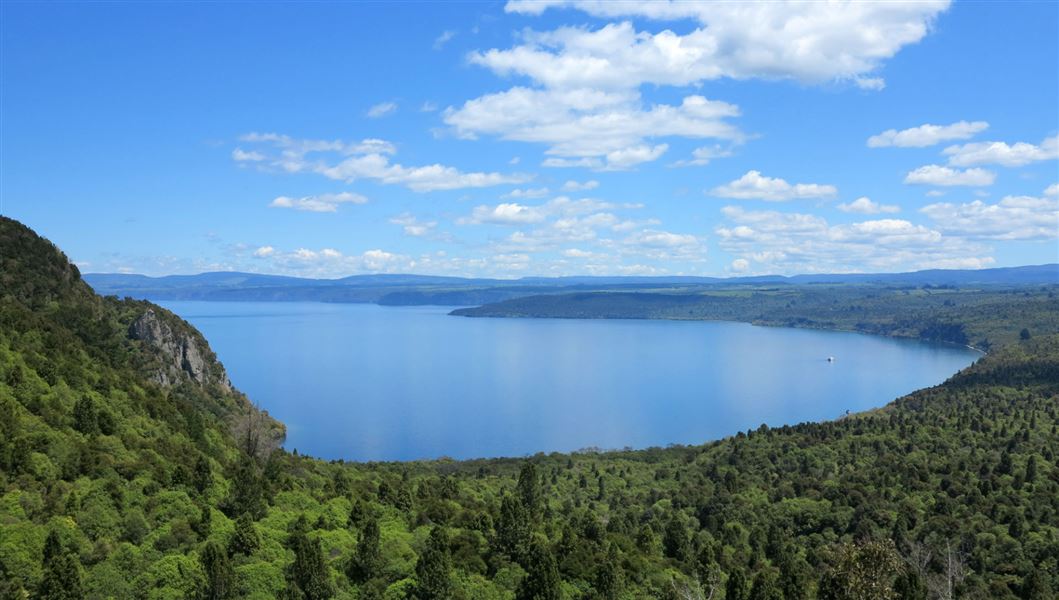
The track to Kawakawa Bay begins at the western end of the beach to the right of the parking area. Glorious views feature as the track climbs from Whangamata Bay and sidles along the top of a broad cliff. The bush is dominated by rewarewa but look out for the giant matai too.
Once you reach the rocky lookout the track winds down into Kawakawa Bay. Here there is a shelter, toilet and plenty of opportunities for a swim or lakeside picnic.
Return via the same track, or link with the Orakau trail.
Orakau
Time (one way): 3 hr walk, 1 hr mountain bike
Distance: 10 km
From the carpark on Whangamata Road, the trail follows the Orakau Stream and wetland through regenerating native bush down to the beach at Kawakawa Bay. The trail is generally downhill and offers views across Lake Taupō.
Return via the same track, or continue on to Kinloch via the K2K.
Kinloch is a small lakeside settlement 24 km from Taupo. Travel north from Taupo on SH1 over the Waikato River, at the top of the hill turn left into Poihipi Road and follow signs to Kinloch.
To get to Orakahu car park, follow Kinloch Rd north, then turn west onto Whangamata Rd (approximately 10 km).
These tracks are part of the Great Lake Trail, for more information visit the Love Taupō website.
These are shared-use tracks. Follow the mountain bikers code: respect others, respect the rules, respect the track.
DOC Customer Service Centre
| Phone: | 0800 275 362 |
| Email: | taupo@doc.govt.nz |
| Address: | Taupō Office |
