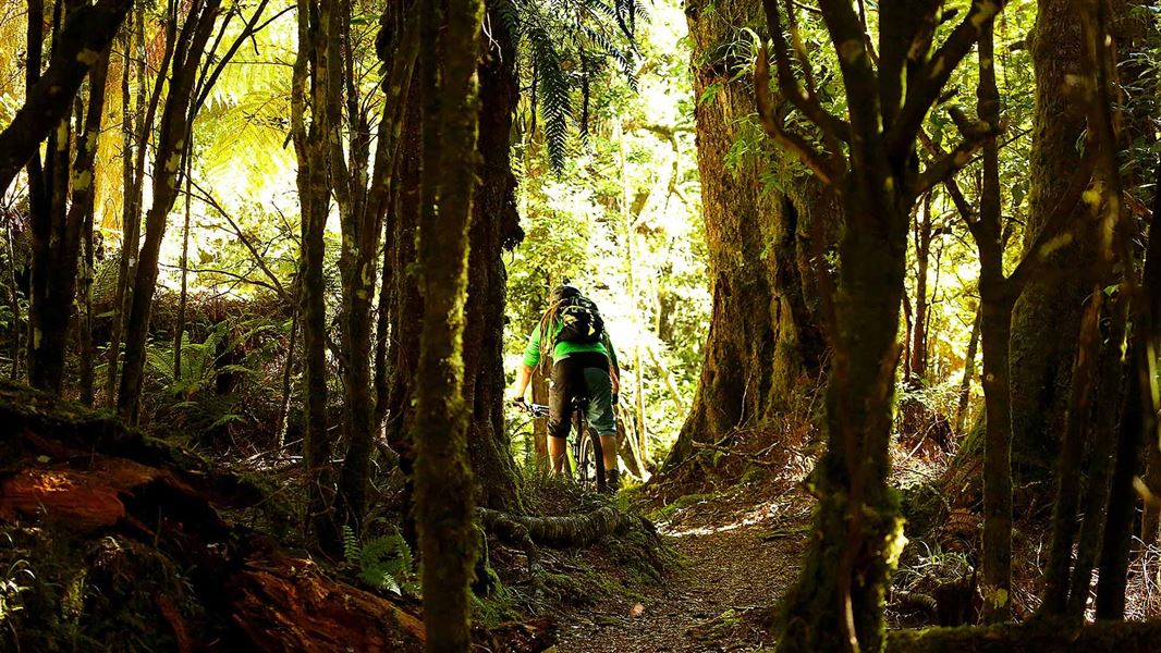
19 km return via same track
Riding options
- Ride half the track - as far as Tiki Tiki Stream and return in one day.
- Ride the full track - to Oamaru Hut and back over two days.
Both options involve long days with high skill and high fitness levels required.
Climb to old Te Iringa Hut site
From the car park at Te Iringa Campsite the track climbs slowly (330 m) then gets steep and technical - this section is mostly rideable, but do expect to do some pushing.
After about 1 hour 30 minutes you come to the old Te Iringa Hut site, a good place for a break. The hut itself burnt down and will not be replaced, it may still show on older maps.
Traverse around Mt Te Iringa
After leaving the hut site, the track climbs again and after a section of steps it drops. The track sidles around Mt Te Iringa (1241 m) and is tough - there are rideable sections but also some steep and narrow sections where you'll need to lift and carry your bike.
Be aware the rocky sections are slippery in cycling shoes whilst pushing and carrying.
Descent to Tiki Tiki Stream
After the traverse, there is a single track descent losing 500 m in altitude down to the river junction. It flows well and isn’t too steep, but there are still a few tricky roots to negotiate.
The track then comes to a series of short, tight switch backs: the Tiki Tiki Stream camping area is just below.
One day option: stop here and walk down to the stream for lunch before heading back via the same track to the car park.
Two day option: make your way down the switchbacks to the stream. At 3 hours 30 mins from the car park, this is a good spot for lunch before continuing on to the Kaipo swing bridge and Oamaru Hut.
To Oamaru Hut
Cross the stream and find the rope (slightly downstream near the logs) to help get you and your bike up the bank. From here it is a 20 to 30 minute ride to the bridge.
Once over the bridge head straight. The first part has sections where you'll need to carry your bike through guts and bogs. This improves into an undulating track along the river until you reach the hut - around 1 hour 30 minutes from the bridge.
Note: mountain bikers must return via the same track - there is no access through Poronui Station and mountain biking is not permitted on other tracks in the area.
Return trip
The return ride toward the bridge and on to the Tikitiki Stream camping area rolls along nicely. The climb from the stream and around Mt Te Iringa is tough going with a lot of carrying and lifting.
But, after a well earned rest at the old hut site, and another small climb, the last run to the car park is a 15-30 minute technical descent.
This is a shared-use track. Follow the mountain bikers code: respect others, respect the rules, respect the track.
For more tips on the best way to complete this adventure ride, visit The Hub website.
27 km east of Taupo off SH5 (Napier Taupo Road), turn onto Taharua Road and follow this for 9.5 km to Clements Mill Road. The track starts from the car park 5 km along Clements Mill Road.
Check, Clean, Dry
Clean all gear when moving between waterways to prevent the spread of didymo and other freshwater pests.
DOC Customer Service Centre
| Phone: | 0800 275 362 |
| Email: | turangi@doc.govt.nz |
| Address: | Tūrangi Office |
