Image gallery
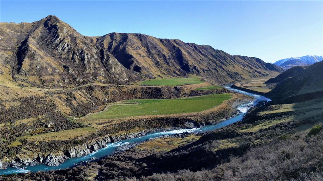
Mt Tripp and Moorhouse Range
Follow the marked public access easement from the end of Chapmans Road to the Hinds River south branch. Public conservation land starts here and gives access to Moorhouse Range and Mt Tripp. Moorhouse Range can be reached by walking to the end of the public access easement and then following the ridge line, which leads to point 1095. Routes are not marked and this area is suitable for fit and experienced trampers.
Rangitata Gorge
At the start of the Rangitata Diversion Race (RDR) follow the marked public access easement up the face of the terrace. Once this section has been climbed the route is relatively easy-going and gives good views down into the Rangitata Gorge. The RDR ends at Highbank Power Station.
Mountain biking
Mountain biking is possible on the Mt Tripp and Moorhouse Range route (along the easement only). Once public conservation land is reached there are no suitable tracks.
From Geraldine
Mt Tripp and Moorhouse Range: Turn off Main South Road (Highway 72) at Ealing and follow Ealing Montalto Road for 19.5 km. At the ‘T’ junction, turn left onto Hinds Gorge Road and then right onto Chapmans Road. The public access easement starts at the end of this road.
Rangitata Gorge: Turn off Arundel Rakaia Road (Highway 72) at Ealing, which is on the bank of the Rangitata River. Follow Ealing Montalto Road for 14 km and turn left on Klondyke Terrace. This road continues to the Rangitata Diversion Race intake at the Rangitata River. A public access easement starts from this point.
From Methven
Mt Tripp and Moorhouse Range: Follow Arundel Rakaia Road (Highway 72) to Mayfield and then turn right onto Mayfield Klondyke Road. At Montalto turn right onto Hinds Gorge Road and follow this for 9 km. Turn right onto Chapmans Road. The public access easement starts at the end of this road.
Rangitata Gorge: Follow Arundel Rakaia Road (Highway 72) to Mayfield and then turn right onto Mayfield Klondyke Road. At Montalto turn left onto Mayfield Klondyke Road; at the crossroads go straight ahead onto Klondyke Terrace. This road continues to the Rangitata Diversion Race intake at the Rangitata River. A public access easement starts from this point.
Stay safe in the outdoors
- Choose the right trip for you. Learn about the route and make sure you have the skills for it.
- Understand the weather. Check weather forecasts.
- Pack warm clothes and extra food. Check gear lists.
- Share your plans and take ways to get help. Share directly or use the Outdoor Intentions form or Plan My Walk. Take a distress beacon.
- Take care of yourself and each other.
DOC Customer Service Centre
| Phone: | 0800 275 362 |
| Email: | info@doc.govt.nz |
