18 km one way
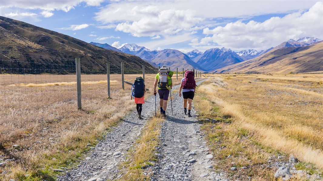
Cross Macaulay River and look out for the DOC signs on the riverbed directing you towards Macaulay Hut Track. Keep to the 4WD track initially as this is a public access easement through private farmland. Further up valley when you're in Te Kahui Kaupeka Conservation Park, trampers are free to roam in the riverbed area, which is generally faster when on foot. Be aware that the braids of the river can shift and there may be soft, sinking sand. Mountain bikers and four wheel drivers should stay on the track.
Macaulay Hut is located on the lower Tindill fan. There is no marked track beyond the hut.
Take care when crossing Macaulay River, as the crossing can be difficult and currents are often stronger than they appear. The water levels can rise rapidly due to rain or snowmelt at the headwaters, even if it is not raining on this track. Never cross the river if it is dirty, flooded or high. If you are unsure if the crossing is safe, turn back or stay put until conditions improve.

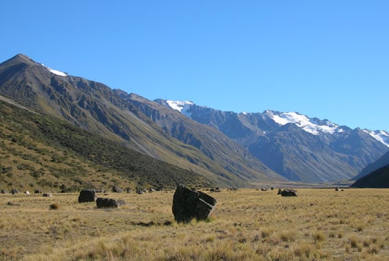
Boulders in Macaulay valley
Mountain biking
After crossing Macaulay River the ride is on a well-formed 4WD track. You many need to push your bike as you near Macaulay Hut.
Four wheel driving
From the Lilybank road end, ford the Macaulay River and follow the DOC signs for Macaulay Hut. Orange trail markers denote permanent sections of fourwheel track and the best places to cross the river. Keep to the track.
Driving through the Macaulay River can be difficult and is not recommended in wet conditions or during snowmelt. In dry conditions the river is around the depth of the bottom of the doors, but after rain or snow-melt it gets far deeper (even over the bonnet).
River flow data for Canterbury rivers is available on the Environment Canterbury website.
Regardless of the conditions, you need to be an experienced four wheel driver with river crossing and navigation skills to attempt this trip. Carry a communications device like a distress beacon and recovery equipment, and be ready to be self-sufficient.
Please end your trip at the hut, as the upper valley beyond the hut has many fragile areas which are easily damaged by vehicles.
Horse riding
These tracks travel along stony flats.
This track is at the northern end of Lake Tekapo. At Tekapo, turn off SH8 onto Lilybank Road (a gravel road) and travel to the end.
To reach the start of the track you need to cross Macaulay River first. This can be a difficult crossing in periods of high rainfall or snowmelt. Assess the river carefully before crossing and if in doubt, stay out.
Dog access: Dogs must be confined to your vehicle until you are through the private farmland and passed the signpost for the conservation park boundary.
Map: NZTopo50 BW17, BX17
Check the weather: always check the forecast for your trip dates, as the river can rise rapidly with rain or snowmelt. Carry an emergency shelter and spare food, in case you are delayed by the river.
Stay safe when crossing rivers
If you plan to cross unbridged rivers, know how to cross safely and be prepared for if you cannot cross.
Do not cross if the river is flooded, you cannot find safe entry and exit points or are unsure it’s safe. Turn back or wait for the river to drop. If in doubt, stay out.
Stay safe in the outdoors
- Choose the right trip for you. Learn about the route and make sure you have the skills for it.
- Understand the weather. Check weather forecasts.
- Pack warm clothes and extra food. Check gear lists.
- Share your plans and take ways to get help. Share directly or use the Outdoor Intentions form or Plan My Walk. Take a distress beacon.
- Take care of yourself and each other.
DOC Customer Service Centre
| Phone: | 0800 275 362 |
| Email: | info@doc.govt.nz |
