21 - 35 km return via same track
Ram Hill carpark to Monument Hut
Track category: Tramping track
Time: 2 - 3 hr
Distance: 9 km
The start of this track is on private land so please keep to the track. The conservation park boundary is signposted 1 km south of Monument Hut. You don't need to cross any rivers to reach the hut.
Mountain biking
Track category: Easy/Grade 2
Time: 1 hr 30 min
Distance: 9 km
It's a straight forward mountain bike to Monument Hut. You'll need to push your bike over the shingle slip at the conservation park boundary. Some mountain bikers choose to carry on to Red Hut or Elcho Hut - river crossing and backcountry skills are required for this.
Monument Hut - Dasler Biv
Monument Hut to Red Hut
Track category: Tramping track
Time: 2 hr
Distance: 6 km
From Monument Hut cross Hopkins River to reach Red Hut. This is a fine weather trip - any rainfall means the river will rise rapidly and you may not be able to return.
Red Hut to Dasler Biv
Track category: Tramping track
Time: 3 hr
Distance: 6 km
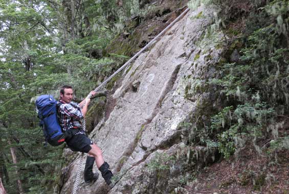
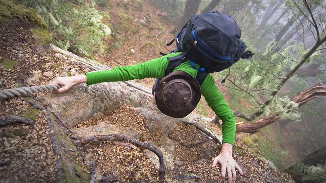
From Red Hut follow the old 4WD track to the start of Dasler Biv Track. The steep track is signposted on the Hopkins River flats. Part way up you'll need to negotiate a small rock bluff. It's well worth continuing above Dasler Biv to emerge out of the alpine scrub for great views.

A tramper negotiates the rock bluff on Dasler Biv Track
Monument Hut - Richardson Rock Biv
Monument Hut to Elcho Hut
Track category: Tramping track
Time: 4 hr
Distance: 9 km
The most direct route to Elcho Hut on foot is to stay on the true right of Hopkins valley. Elcho Hut is a New Zealand Alpine Club Hut.
From Elcho Hut, climbers can access North Elcho on the North Elcho Stream Route. This challenging route (2.5 km/1 hr one way) follows the true right of the Elcho stream to the Elcho bridge.

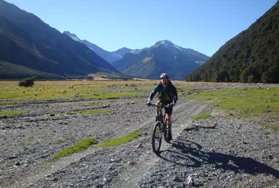
A mountain biker cycling out from Elcho Hut
Elcho Hut to Cullers Hut
Track category: Tramping track
Time: 30 min
Distance: 1.5 km
Cullers Hut (also known as Apricot Hut) is often overlooked as it is tucked way off the beaten path. Cross Elcho Stream and look for the hut in the bush margin.
Cullers Hut to Dodger Hut
Track category: Tramping track
Time: 2 hr
Distance: 5.5 km
Cross Apricot flat and ford the Hopkins River. The track across Dodger fan begins on the true left at the confluence of Dodger stream.
Dodger Hut to Erceg Hut
Track category: Route
Time: 3 hr
Distance: 7 km
People often underestimate how long it takes to get to Erceg Hut. There is a DOC sign for the hut clearly visible in the riverbed.

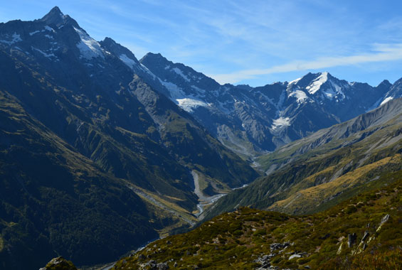
Upper Hopkins valley
Erceg Hut to Richardson Rock Biv
Track category: Route
Time: 1 hr
Distance: 3 km
From Erceg Hut stay on the true left to reach the rock biv.
Four wheel driving
Do not drive:
- in the Huxley valley, the true right of the Hopkins valley between the Huxley confluence and Elcho Stream, or
- beyond Elcho Stream into the upper Hopkins valley.
Keep vehicles on formed tracks.
Horse riding
The Hopkins valley is good for horse riding when river levels are low.
Horse paddock at Red Hut.
Hopkins valley is at the end of Lake Ohau Road, 60 km from Twizel. Follow SH 6 from Twizel, then turn into Lake Ohau Road.
The sealed road changes to gravel after passing Lake Ohau Lodge. Drive carefully and watch out for stock grazing beside the road. As a courtesy, drive slowly past Lake Ohau Station buildings to reduce dust.
Park your car at the Ram Hill carpark at the road end, or if you have a 4WD vehicle carry on to Monument Hut.
Maps: NZTopo50 BZ14 Mt Barth, BY14 Mt Ward, BY15 Birch Hill
Stay safe when crossing rivers
If you plan to cross unbridged rivers, know how to cross safely and be prepared for if you cannot cross.
Do not cross if the river is flooded, you cannot find safe entry and exit points or are unsure it’s safe. Turn back or wait for the river to drop. If in doubt, stay out.
Dog access:
There is an ongoing trapping and poison operation for possums in this area. Monitor your dog and use a muzzle to avoid any potential scavenging of possum carcasses.
Stay safe in the outdoors
- Choose the right trip for you. Learn about the route and make sure you have the skills for it.
- Understand the weather. Check weather forecasts.
- Pack warm clothes and extra food. Check gear lists.
- Share your plans and take ways to get help. Share directly or use the Outdoor Intentions form or Plan My Walk. Take a distress beacon.
- Take care of yourself and each other.
DOC Customer Service Centre
| Phone: | 0800 275 362 |
| Email: | info@doc.govt.nz |
| Address: | Te Manahuna / Twizel Office |
