3 or 6.5 km
Shortcut Road to Wether Range Conservation Area
Track category: Tramping track
Time: 2 hr
Distance: 6.5 km
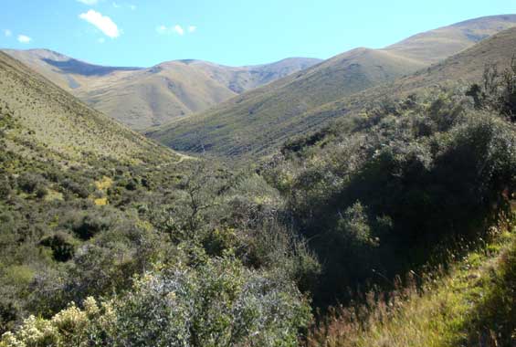
Follow a public access easement through private farmland along the fenceline boundary. Once in the conservation area, there is no formed track. A diverse selection of native scrub covers the flats near Manuka Creek which runs through here.
Turn off SH8 into Shortcut Road, 12 km south of Omarama. A sign along Shortcut Road shows the start of the track.

Native scrub in Wether Range Conservation Area
SH8 to Wether Range Conservation Area
Track category: Route
Time: 1.5 hr
Distance: 3 km
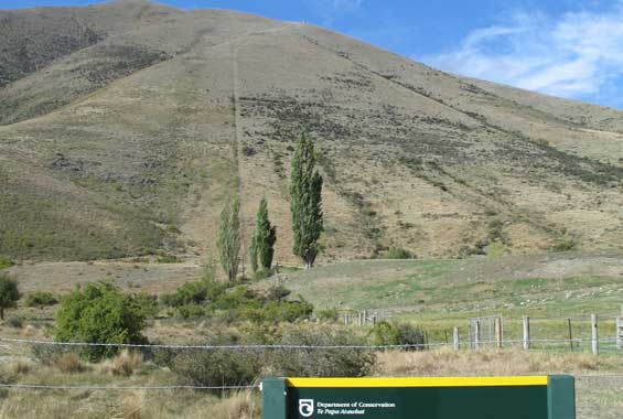
There is no formed track but follow the DOC markers on the steep fenceline boundary to the conservation area. This is a public access easement through private farmland.
This route is signposted off SH8, 16 km south of Omarama.

Access route along the fenceline (centre) to Wether Range Conservation Area
These access points are off SH8, 12 and 16 km south of Omarama.
Map: NZTopo50 CA14 Lindis Pass
Stay safe in the outdoors
- Choose the right trip for you. Learn about the route and make sure you have the skills for it.
- Understand the weather. Check weather forecasts.
- Pack warm clothes and extra food. Check gear lists.
- Share your plans and take ways to get help. Share directly or use the Outdoor Intentions form or Plan My Walk. Take a distress beacon.
- Take care of yourself and each other.
DOC Customer Service Centre
| Phone: | 0800 275 362 |
| Email: | info@doc.govt.nz |
| Address: | Te Manahuna / Twizel Office |