Image gallery
These are unmarked routes – suitable for fit, experienced and well-equipped trampers. They are subject to low cloud and poor visibility. Topographic maps, route finding and navigation skills are essential. When snow covers the ground, routes will be less obvious and there is also risk of avalanches.
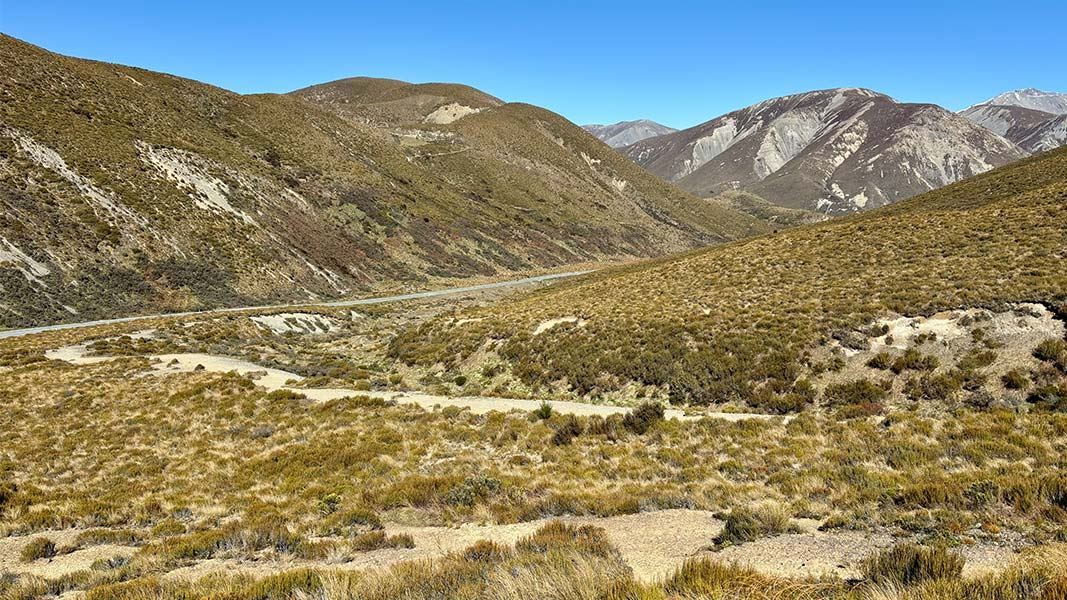
Foggy Peak and Castle Hill Peak
From the lay-by at the top of Porters Pass, follow an unmarked but well-worn trail up through low scrub and tussock and across gravel screes towards Foggy Peak. Large cairns mark the way in places.
Time: 1–2 hr
Beyond Foggy Peak, follow the broad ridge. The ridge narrows for the final climb to the trig on the summit of Castle Hill Peak.
Time: 2–4 hr
The Gap
From Castle Hill Peak, experienced parties can traverse across to The Gap. Beyond peak 1941, sidle just off the north side of the ridge until you reach the bluffs above The Gap. Descend down scree to the north for about 50 m, to a shoulder that leads directly back into The Gap.
From The Gap, a scree slope and rocky ridge provide a good route down to the Kowai River. Some rock scrambling is required. Note: If planning to use this route, prior permission must be gained from Brooksdale Station.
Mt Torlesse via Kowai River
Access to the base of Mt Torlesse is across freehold and leasehold land and permission must be gained from Brooksdale Station. DOC is unable to provide the contact details for Brooksdale Station.
If permission has been obtained, respect this as it is a working station; leave gates as you find them and avoid disturbing stock. Dogs and vehicles are prohibited.
From State Highway 73 follow an old vehicle track up the true right of the Kowai River to opposite Kowai Hut. Note: this is a private hut and not open to the public.
Time: 1–2 hr
The spur on the true right of the side stream, by the hut, is the most direct route to Mt Torlesse.The spur starts off with a gradual climb, becomes a steep ridge, and leads directly to Mt Torlesse.
Time: 3–4 hr
The Torlesse Range is one of the most accessible in the country, located alongside State Highway 73, only 1 hr 15 min drive from Christchurch. The main access points into the park are the Kowai River (private), Porters Pass, Lake Lyndon Road, Craigieburn Road, and the Porter Heights Skifield Road. Access to some areas requires permission from neighbouring landholders.
All these trips are routes only – unmarked and suitable for fit, experienced and well-equipped people.
Winter snow and ice could make these routes difficult and dangerous.
NZTopo50 map BW21 (Springfield) covers this area.
Times are approximate and one way.
Stay safe in the outdoors
- Choose the right trip for you. Learn about the route and make sure you have the skills for it.
- Understand the weather. Check weather forecasts.
- Pack warm clothes and extra food. Check gear lists.
- Share your plans and take ways to get help. Leave your intentions with a trusted contact and take a distress beacon.
- Take care of yourself and each other.
Arthur's Pass National Park Visitor Centre
| Phone: | +64 3 318 9211 |
| Email: | arthurspassvc@doc.govt.nz |
| Address: | 104 West Coast Road Arthur's Pass 7654 |
| Hours: | Visitor centre hours and services |