13 km return return via same track
The track starts from the Kelly Creek car park on SH 73. After following the Carroll Hut Track for a short distance, turn onto a steep track on the true left of Kellys Creek.
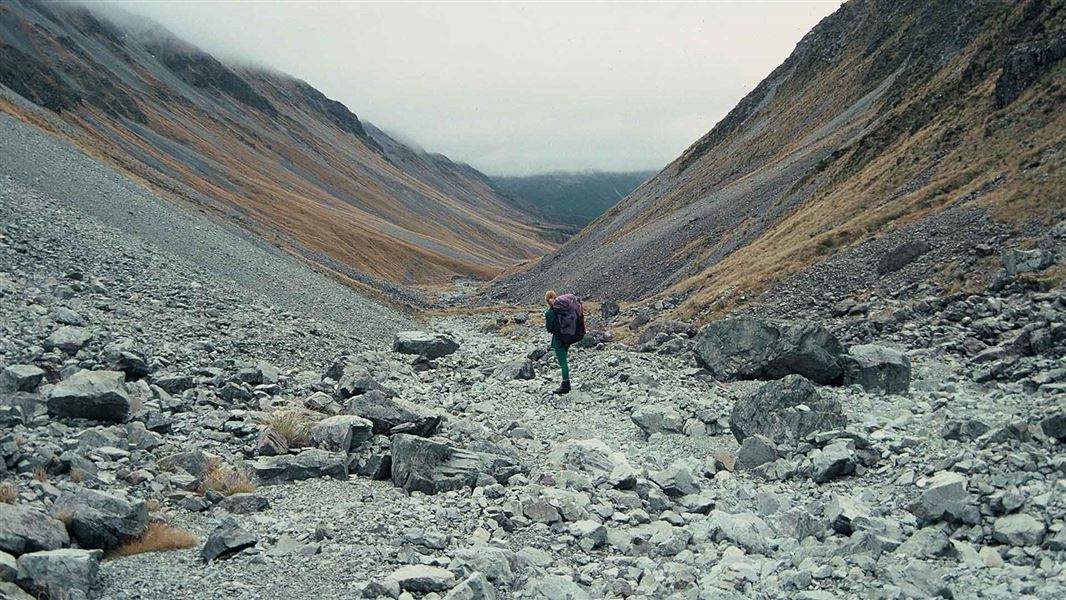
The track climbs high above a gorged section of river, before dropping back into the creek. Beyond here, it mostly follows the riverbed, with occasional brief sections of track until just below Hunt Saddle.
Pick up a track through light forest up to Hunt Saddle. The saddle is difficult to navigate - it's muddy and covered with head-high tussocks. Look for marker poles and watch out for deep holes.
A rough track continues to sidle in forest above Hunts Creek, climbing and falling regularly. The track crosses two large screes before dropping into the basin and the tussock flat where the hut is located.
The track starts from the Kelly Creek car park on SH 73.
Location
NZTopo50 map sheet: BV20
Grid/NZTM2000 coordinates: E1477529, N5255771
Stay safe in the outdoors
- Choose the right trip for you. Learn about the route and make sure you have the skills for it.
- Understand the weather. Check weather forecasts.
- Pack warm clothes and extra food. Check gear lists.
- Share your plans and take ways to get help. Share directly or use the Outdoor Intentions form or Plan My Walk. Take a distress beacon.
- Take care of yourself and each other.
Arthur's Pass National Park Visitor Centre
| Phone: | +64 3 318 9211 |
| Email: | arthurspassvc@doc.govt.nz |
| Address: | 104 West Coast Road Arthur's Pass 7654 |
| Hours: | Visitor centre hours and services |
