Report illegal vehicle activity within this conservation park to 0800 4258 8427.
Visit the Quailburn historic site. Quailburn Station was once part of the the largest properties in Otago during the 1870s. Today, you'll find a woolshed, sheep-dip, homestead and some hut ruins dating from 1866.
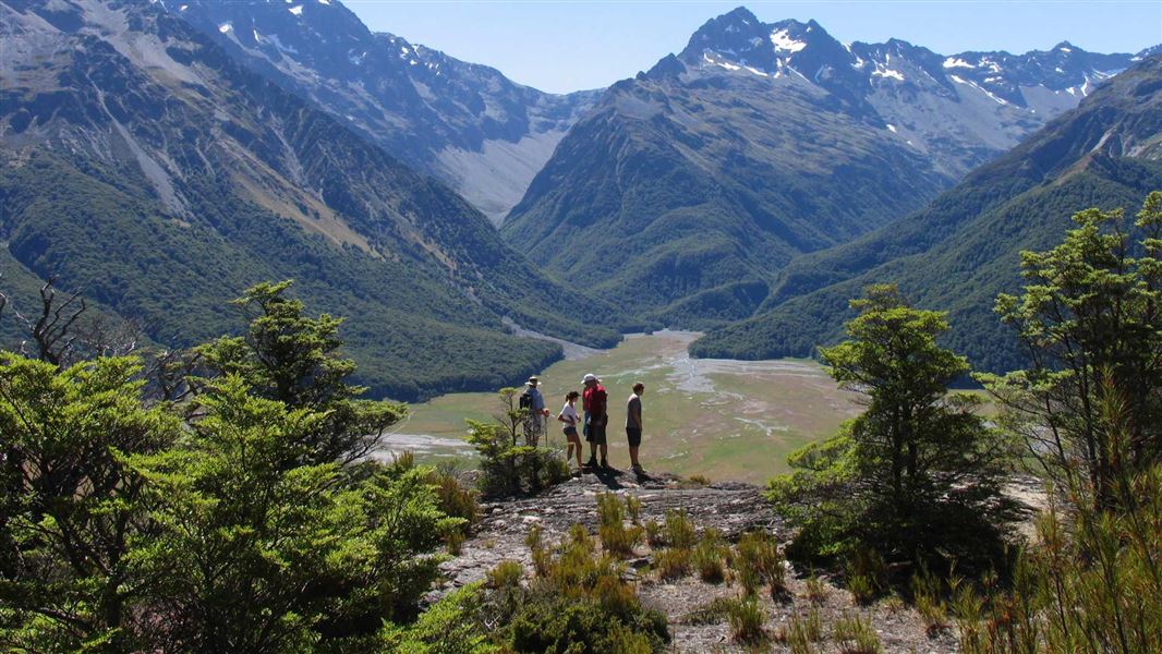
You can also visit Ohau Moraines Wetland Complex.
Access to the park is via Birchwood Road which leaves SH 8 about 17 km west of Omarama township.
Birchwood Road runs for 21 km up to the park boundary, however Waitaki District Council only maintain it as far as Ben Avon ponds. From there a high clearance 4WD vehicle is required 16 km up to the road end.
Upper Ahuriri Valley 4WD road
This road is subject to frequent washouts and slips during and after periods of heavy rainfall. Heavy snowfall in winter and freeze/thaw cycles in the late winter/early spring can make the road impassable. The road could be closed to vehicle use at these times.
Communications
Cell phone coverage cannot be relied on in this region. The use of satellite phones, mountain radios or personal locator beacons can all provide increased personal safety. An emergency phone is signposted off Birchwood Road near Birchwood homestead.
River crossings
Be aware of weather conditions in catchment headwaters. Do not attempt to cross swollen rivers or streams.
Check the flow of the Ahuriri River
Check the flow of the river if you intend to cross before you go: Ahuriri River flow. It is safe to cross when the flow is 18 cubic metres per second (cumecs) or less.
Stay safe when crossing rivers and streams
If you plan to cross unbridged rivers or side streams, know how to cross safely and be prepared for if you cannot cross.
Do not cross if the river or stream is flooded, you cannot find safe entry and exit points or are unsure it’s safe. Turn back or wait for the river to drop. If in doubt, stay out.
NIWA river flow forecasts: View a video of national followed by regional river flows
River care code
- River birds nest on the ground. Their eggs and chicks are almost impossible to spot from a vehicle. Please refrain from driving in riverbeds from August to December.
- Birds swooping, circling or calling loudly probably have nests nearby. Move away so they can return to them, or their eggs and chicks could die.
- A dog running loose can wreak havoc. Leave your dog at home or keep it under strict control.
- Jet boats disturb birds and can wash away nests near the water’s edge. The speed limit for boats is 5 knots within 200 m of the bank.
Windfall
Because of the danger of falling branches, do not camp under beech trees.
Avalanche
Avalanche run-out zones can impact on the valley floor from May to November. We recommend carrying transceivers 457 khz, probes and shovels in avalanche terrain.
Fire
Fire restrictions apply to all DOC land. Check with the Twizel Information Centre or DOC for the current fire status.
Wildlife
River valleys and wetlands in the park are outstanding habitat for many species including the endangered black stilt/kakī, black-fronted tern/tarapirohe, and wrybill/ngutu-pare. The beech/tawhai forests are home to the main forest birds, including the threatened kākāriki/yellow-crowned parakeet, kea and NZ falcon/kārearea.
Native fish recorded in the upper Ahuriri River, include alpine galaxias (Galaxias paucipondylus), koaro (Galaxias brevipinnis), common river galaxias (Galaxias vulgaris), and upland bully (Gobiomorphus breviceps).
Wetlands
The Ahuriri Valley has some diverse wetlands, with large shallow pools, oxbow ponds and river backwaters to fertile swamps and infertile bogs. Oxbow ponds were formed from horseshoe bends left behind when the Ahuriri River changed course.
The variety and number of habitats make the Ahuriri Valley wetlands extremely valuable to wildlife for feeding and reeding - both native fish and birds.
The easiest wetland to visit is Ben Avon, which is right beside Birchwood Road. You can get a good overview of the wetland and wildlife just from your car. A further 4 km up the road are information panels and seating with a stunning vie wo fthe river valley and mountains beyond.
Aoraki/Mount Cook National Park Visitor Centre
| Phone: | +64 3 435 1186 |
| Email: | mtcookvc@doc.govt.nz |
| Address: | 1 Larch Grove Aoraki/Mount Cook 7999 |
| Hours: | Visitor centre hours and services |