Department of Conservation
Te Papa Atawhai
Please enable JavaScript in your browser settings to view this site.
Department of Conservation | Te Papa Atawhai
https://www.doc.govt.nz/
Image:
Justin Scott
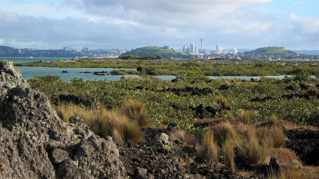
Auckland
Discover pest-free island sanctuaries, native forest walks, historic sites and marine reserves in the Auckland region.
Or select a place
Discover the Outdoors interactive map