About the river
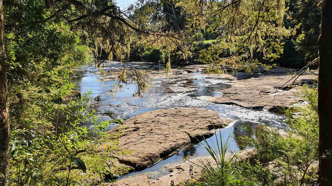
The Mahurangi River begins in the hills north of Auckland, and ends in Mahurangi Harbour at Warkworth on the North Island’s east coast. The catchment is 72 km2 and includes hills, steep-sided valleys and deeply incised channels.
A large weir crosses the river near the Warkworth township. The final 6.4 km of the river is a long tidal creek. Other small waterways also enter Mahurangi Harbour to the south and east of Mahurangi River.
Land use in the catchment is made up of of dry-stock and dairy farming (64%), native forest (20%), forestry (8%) and roading (5%), with areas of lifestyle blocks and urban development. The Mahurangi catchment has large areas of riverside planting compared with other rural catchments. It also contains 50 culverts, 20 bridges and 2 km2 of land covered with asphalt and concrete.
Narrow sections confine the river and increase the speed of the water flow. This leads to erosion of the banks and sediment being picked up and carried downstream. The sediment is deposited in the lower reaches and the harbour as the speed of the flow decreases.
Download Mahurangi River catchment map (PDF, 3,126KB)
Treaty partner
The Mahurangi River is treasured by iwi and the community, who have strong connections to it. Ngāti Manuhiri hold mana whenua in the catchment.
Current Ngā Awa restoration work
Working together
Our river restoration work through Ngā Awa involves joining with agencies and groups that are already working in the catchment. These include mana whenua, local government, private landowners and community groups in particular Auckland Council, The Forest Bridge Trust, Restore Rodney East Whitebait Connection and the Mahurangi River Restoration Trust.
We are working with iwi, landowners and communities to develop a vision for the catchment. This is focussing on work to restore the biodiversity of the river and its tributaries. Our work acknowledges iwi aspirations for the catchment as well as the permanent changes that have already been made to the river, and plans for future urban development in the catchment.
River biodiversity baseline study
In summer 2022/23 we carried out surveys of the biodiversity at various sites in the catchment. The data we collected and our ongoing monitoring work will provide a baseline from which to compare changes in the future.
Catchment landform analysis
A report on the geomorphology of the Mahurangi River was carried out in 2021. It studied the flows and sediment transport of the river. Restoring the headwaters and upland sections of the river was recommended as a priority.
Increasing the area of wetlands across the catchment was also advised. This would help buffer high flows, provide a wide range of habitats and store carbon. The report also recommended using drought-resistant riverside planting and other measures in some of the steep-sided sections to reduce the amount of erosion and sediment carried downstream.
View summary and download the full report
Wetland mapping
A wetland mapping analysis of the Mahurangi River was carried out by Biospatial in 2021 using aerial imagery from a fly-over. The next steps are to ground-truth the maps and identify areas where more wetland protection could be created or where other restoration could take place.
Mahurangi catchment restoration work
Sediment is accumulating in the Mahurangi River and its harbour. This has a negative effect on the habitat for a range of species, as well as navigation, swimming, fishing and aquaculture.
Reducing sedimentation has been a focus of catchment restoration work for the last few decades. Work has included efforts to reduce sediment from agriculture and forestry in the upper catchment and urbanisation nearer the coast.
To date this work has been carried out by the Mahurangi East Land Restoration Project, which brings together Auckland Council and the Ngāti Manuhiri Settlement Trust.
The Mahurangi River Restoration Trust is also working to reduce sedimentation in the harbour by dredging silt from the tidal area below the weir.
Contact
If you have any questions or want to get involved, email us.
Email: info@doc.govt.nz
![]()
About Ngā Awa river restoration
Ngā Awa is a programme working collaboratively in priority catchments to restore freshwater biodiversity.