Archived content: This media release was accurate on the date of publication.
Date: 21 December 2020
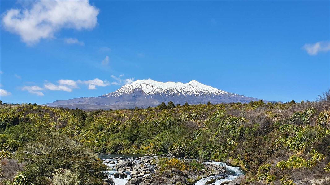
Due to heightened volcanic unrest and the change in VAL, the Department of Conservation (DOC) has closed the summit area of Mount Ruapehu, including a 2 km radius from the centre of Te Wai ā-moe/Crater Lake.
“Our priority is to protect public safety, so we ask visitors to respect the exclusion zone under VAL 2 for their own safety,” says Tongariro Operations Manager Connie Norgate.
“At VAL 2 there is increased risk of eruption, so it’s important that people take this advice seriously.
“Tongariro National Park is an active volcanic area, so eruptions can occur with little or no warning. The closer people are to the Park’s active volcanic vents, the higher the risk.
“DOC and GNS are in regular communication and if unrest continues to escalate and the probability of eruption increases, we will consider extending the closure to the entire summit hazard zone – 3 km radius from the centre of Te Wai ā-moe/Crater Lake,” Connie Norgate says.
Download map showing where you cannot go (PDF, 3,179K).
Signage will be displayed at the Whakapapa, Tūroa and Tukino ski areas and DOC will provide any updates through its website and social media page.
Iwi and stakeholders have also been informed about the change in alert level and the 2 km exclusion zone. Concessionaire activity is suspended in the exclusion zone until further notice.
Mount Tongariro and the Tongariro Alpine Crossing are not affected by increased volcanic unrest at Mount Ruapehu and remain open.
More information
Contact
For media enquiries contact:
Email: media@doc.govt.nz
