Check road conditions
Severe weather has damaged many roads in Marlborough and Kaikoura. Before you travel to our facilities, check the latest road updates:
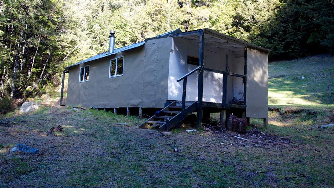
Built in 1963 with an open fire in line with huts of that era, it was extended and upgraded 13 years later.
Fees
- Adult (18+ years): $15 per night
- Youth (5–17 years): $7.50 per night
- Child/Infant (0–4 years): free
Bookings
Bookings are open for stays up to 30 June 2027.
- If no availability shows online for your dates, the hut is fully booked.
- No spaces are kept for visitors arriving without a booking.
- Phone and in‑person bookings made at a visitor centre incur a $10 service fee.
- Same‑day bookings are available online until 8 pm if spaces remain.
Nearest road end to Lake Chalice Hut
Staircase Road: 1 hr (2.6 km)
5 km north Renwick (just over the Wairau River bridge) turn off SH6 onto Northbank Road. Follow this for 33 km then turn into Top Valley Road. Continue for 6 km then turn into Staircase Road and follow this for 18 km to the car park.
A 4WD is recommended.
Mid Goulter Hut to Lake Chalice Hut
Mid Goulter Hut: 5 hr (9 km)
From Mid Goulter Hut, the track follows the true left of the river to where the Goulter River begins at a group of small springs. Follow the track through beech forest to the western end of Lake Chalice then either travel left or right around Lake Chalice to Lake Chalice Hut.
Old Man Hut to Lake Chalice Hut
Old Man Hut (via Old Man): 7 hr (10 km)
Travel up from Old Man Hut towards the sign posted junction at Old Man, left from here is another junction for the route to Top Valley. The track to Lake Chalice follows a spur to the bare shingle capped summit of Chalice Knob (1530 m) then meanders down to the eastern side of Lake Chalice, 15 minutes away from Lake Chalice Hut.
Tracks to this hut
-
Duration: 1 hr to hut | 2 hr 30 min loop from hut Difficulty: Advanced
Location
NZTopo50 map sheet: BR26
Grid/NZTM2000 coordinates: E1626651, N5398178
Nelson/Tasman/Marlborough information
| Phone: | +64 3 546 9339 |
| Email: | nelsonvc@doc.govt.nz |
| About: | Whakatū/Nelson visitor services provide information for this area |