4 km return via same track
Do not enter the track during or after periods of heavy rainfall. High rainfall increases the risk of Otago Dam failing and exposing sections of the track to flash flooding.
Check the weather forecast before you go.
Look out for dirty water or unusual sounds like roaring water or trees breaking when walking the track.
Flash flood hazard
Otago Dam could fail during or after periods of high rainfall and during an earthquake. Do not use the track during or after periods of high rainfall as the risk of the dam failing will be higher.
The track crosses the creek in multiple places and is exposed to flash flooding. Onsite signage identifies the flood zone areas, move quickly through these areas.
Look out for dirty water or unusual sounds like roaring water or trees breaking when walking the track.
Move to higher ground immediately if you notice any signs of a flash flood.
Check the weather forecast before you go.
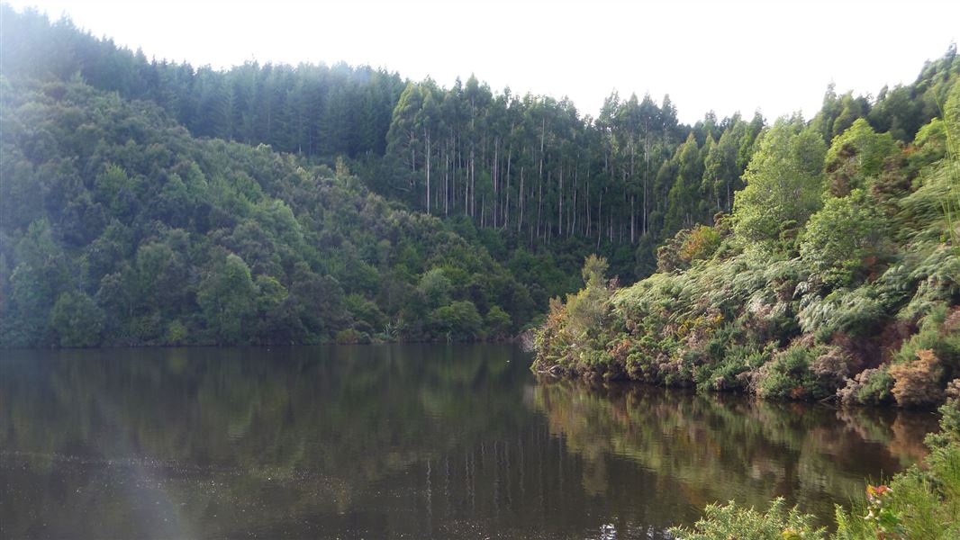
The Otago Dam Track begins at the western edge of Greys Dam. The track is flat for a short section. It then climbs steeply through beech forest and pine trees to reach Otago Dam.
This track requires a good level of fitness and sturdy footwear. There are several creek crossings, and the track is a steep climb on rough terrain and can be muddy in some places.
Gabriels Gully interpretation walk is an easier alternative that has interpretation panels, which tells the story of the gold mining history in Gabriels Gully. Gabriels Gully interpretation walking track starts from the Gabriels Gully car park which is accessed via a turnoff on the way to Greys Dam.
The Otago Dam Track begins at Greys Dam, 5 km from the township of Lawrence. Take Gabriels Gully Road from Lawrence and drive or ride past the turn off to Gabriels Gully car park to reach Greys Dam.
- There are no toilets on site, the closest toilets are in Lawrence township.
- There is a picnic table at the start of the track in the Greys Dam Amenity Area.
- Your safety is your responsibility. Stay safe in the outdoors by following the Land Safety Code.
Flash flood hazard
Do not use this track during or after periods of heavy rainfall and during an earthquake. High rainfall increases the risk of the Otago Dam bursting and exposing sections of the track to flash flooding.
Flood prone sections of the track are clearly marked with signage. Avoid lingering in these areas and keep to the marked track.
Check the weather forecast before you go.
Macrocarpa trees
There are large trees within Gabriels Gully Historic Reserve and at the start of the track within the Greys Dam Amenity Area. Do not park under them and avoid them during high winds.
Stay safe when crossing rivers and streams
If you plan to cross unbridged rivers or side streams, know how to cross safely and be prepared for if you cannot cross.
Do not cross if the river or stream is flooded, you cannot find safe entry and exit points or are unsure it’s safe. Turn back or wait for the river to drop. If in doubt, stay out.
NIWA river flow forecasts: View a video of national followed by regional river flows
NZ Falcons/kārearea can be seen in the area. Between November and February when they are nesting they can become defensive of their young and perform dive bombs. If this happens, move away until the attack stops. Don't try to strike a falcon as you are likely to injure it and place the falcon chicks in danger.
More information about the Gabriels Gully Historic Reserve.
DOC Customer Service Centre
| Phone: | 0800 275 362 |
| Email: | dunedinoffice@doc.govt.nz |
| Address: | Ōtepoti / Dunedin Office |