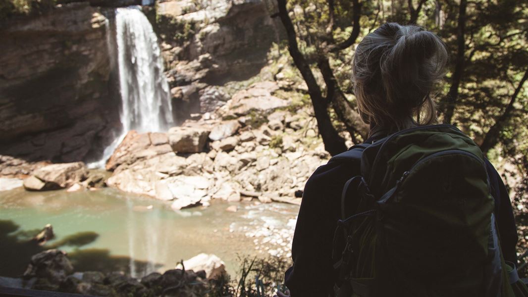
Charming Creek Walkway is split into two separate tracks due to a large active slip.
These two separate tracks are:
- Charming Creek North Walkway which is described here, and
- Charming Creek South Walkway.
5.5 km one way
Image gallery
Carpark and historic Charming Creek mine site
From the carpark you’ll see the historic Charming Creek mine site.
This area contains:
- rusty mining relics
- the original bathhouse shell, and
- sealed entrances to the historic underground coal mining operation.
On this part of the track you’ll also see the fan that extracted air from the underground mine.
Mine site to Mumm’s Mill
Time: 15 minutes
You’ll then walk down a moderate gradient hill and then up another one using steps. Just before the steps, there’s a historic vertical boiler.
After the steps the track levels out to a flat track. You will reach Mumm’s Mill, which is a historic milling site. Here you will find a sawmill steam engine, trolleys, and a steam log hauler nearby.
Mumm’s Mill to Watson’s Mill
Time: 1 hr 30 mins
The track then follows the old railway tracks through old cutover and farm paddocks to the historic site of Watson’s Mill. Steam boilers and other rusty relics are amongst the regenerating bush at Watson’s Mill.
Look out for the sulphur ‘stink hole’, seepage from a hole drilled during government coal prospecting operations from 1910 to 1912. It’s about 400 metres past a small suspension bridge spanning the main creek. It’s on the right-hand side of the walkway as you move south.
Watson’s Mill to views of Mangatini Falls
Time: 10 minutes
The next section of track offers spectacular views of the river and the Upper Ngakawau Gorge and leads on to the 50 meters Mangatini Tunnel which leads to a view of the impressive Mangatini Falls. There’s a risk of rockfall through the section leading to the tunnel. Avoid the area in heavy rain or wind.
This area has one of the only remaining wooden tramline middle breaks in New Zealand. Breaks were used to slow wagons down during the height of the mining and milling operations.
Return via the same track.
Mountain biking
This ride goes over historic railway formations – there may be sharp or rusty metal remnants along the track.
This is a shared-use track. Follow the mountain bikers code: respect others, respect the rules, respect the track.
- Starting at Seddonville, West Coast, head southeast on Mokihinui Road. It’s around 10 km to the track start.
- Turn right onto Broome Street after around 200 metres.
- Turn left onto Gladstone St after around 350 metres.
- Continue straight at the crossroads onto Charming Creek Road. This road is a gravel road.
- At the end of the road is the start of the track. Charming Creek Road is around 8.5 km long.
Hazards
- This area has rapidly changing weather since it’s in the wild West Coast.
- Don’t cross beyond barriers, there’s significant rock fall beyond the barriers.
- Keep children close because of exposed edges.
- Watch out for smaller rock falls around Mangatini tunnel.
Don’t drink water from the streams
There is high mineral count from the acid mine drainage. The water is monitored daily by BT mining to ensure it sits with the relevant tolerance. Bring your own water.
The hardy Ngakawau Gorge Daisy (Celmisia morganii) flowers abundantly on steep rock faces from December to January.
This is the only known habitat for this rare and protected species.
Charming Creek is an outstanding example of the technological innovations by early timber millers and coal miners on the West Coast. Read about the history of Charming Creek.
Paparoa National Park Visitor Centre
| Phone: | +64 3 731 1895 |
| Email: | paparoavc@doc.govt.nz |
| Address: | 4294 Coast Road Punakaiki RD 1 Runanga 7873 |
| Hours: | Visitor centre hours and services |
