The Croesus Track crosses the Paparoa Range between Blackball in the Grey Valley and Barrytown on the Tasman Sea Coast. It's an ideal tramp for people new to tramping.
It's a beautiful walk into the landscape of the Paparoa Ranges. There is plenty of evidence of the local gold mining heritage and a variety of vegetation and wildlife. Croesus Track is one of the few pack tracks on the West Coast that ascends over 1000 m above sea level, and its high points provide excellent views of the Southern Alps and the sea.
It's recommended to walk from Smoke-ho carpark in the east to Barrytown in the west. In this direction, the track ascends to 1200 metres via a well-formed and fairly easy track. Part of Croesus Track is also part of the Paparoa Track. Croesus Track splits off from Paparoa track after the signposted turnoff toward Barrytown. Croesus Track, after this turn-off, is quite steep and rough before it descends onto a good benched track. Snow poles mark the route across the open tops and route-finding navigational skills are required.
Smoke-ho car park to Ces Clark Hut
Time: 4–5 hr
Distance: 10.3 km
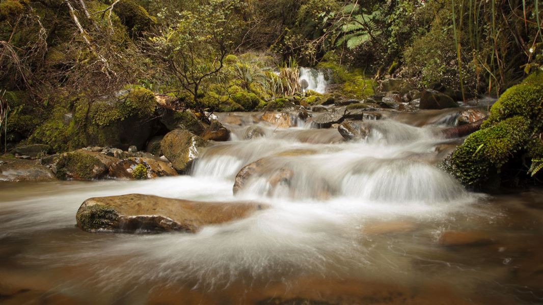
For the first hour of the track, you will pass through mixed podocarp and beech forest and cross a wire suspension bridge over the Smoke-ho Creek. The track then zig-zags up the dividing ridge between Blackball Creek and Roaring Meg catchments for the next hour until you reach the turn-off to the Battery Track.
The track then climbs more steeply into subalpine forest leading towards Ces Clark Hut. You will pass the historic Croesus Top Hut just before reaching Ces Clark Hut. Croesus Top Hut is kept for historic purposes – you cannot stay at Croesus Top Hut. However, in an emergency, you can use it for shelter.
Ces Clark Hut is on the edge of the bushline, set among low alpine scrub and with spectacular views. On a fine day there are views of Lake Brunner, the main divide, and down to Aoraki Mount Cook.
Side trip: Garden Gully Track
Time: 45 min return
This track comes off the Croesus Track at Garden Gully junction. Five minutes down the track trampers can view an old miner’s hut dating from the 1930s depression. After crossing Roaring Meg Creek, a marked route leads to a century old quartz crushing battery. Allow approximately 10 minutes to reach the battery. Do not attempt to cross the creek if it has been raining or the flow is high.
Side trip: Croesus Knob Route
Time: 1 hr 10 min return
The turn-off to Croesus Knob is a 30 minute walk up from the hut. From the main track a rough route takes you up to the top where you are rewarded with spectacular views down to Mount Cook, and out to the Tasman Sea.
Ces Clark Hut to Barrytown
Time: 5–6 hr
Distance: 11.9 km
This stretch is advised for more experienced trampers – on the tops the track is not well marked and can be extremely difficult to see during certain times of the year. For the first 1 hour and 30 minutes follow Paparoa Track across the tops around the head of the Ten Mile Waianiwaniwa Creek.
Halfway across the tops, the Paparoa Track branches off to the right, while the Croesus Track to Barrytown sidles leftwards and climbs to the flanks of Mount Ryall (1220 m high). Along this stretch, you will also see views down the valley towards Aoraki Mount Cook and the Tasman coastline.
For the last 2 hours, 30 minutes the track is marked down the ridge. As you gradually descend, the vegetation changes from forest to nikau palms.
Take care of large slip: There is a large active slip on the Barrytown side of the track. A small bench has been constructed across the slip but take care especially following heavy rain.