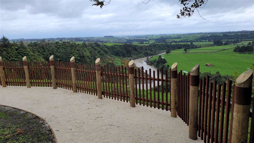
Once a large pā tuwatawata (fortified settlement) Pukerangiora’s multi-layered story is woven into the history of Aotearoa.
For generations, the pā sustained its people who lived off the surrounding whenua (land) and awa (river).
The site later became a focal point of conflict during the Musket Wars of the 1820s -1830s when it was besieged by intertribal conflicts.
In 1861 Pukerangiora was at the front-line of the first Taranaki War, during the final stand between British forces and Māori.
Description
The site is split between a wheelchair friendly track around the pā and a longer walking track that includes the various Taranaki Land War sites within the wider historic reserve.
Allow time for reading the interpretation panels and taking in the sweeping views and archaeological features.
Activities
Explore the pā before you visit, learn about the history, and apply for education resources or request a guided visit through the Pukerangiora hapū website.
Read the interpretation panels along the walking track wheelchair friendly track and gain extra insight with the QR codes available to scan.
Getting there
Pukerangiora Pā is around a 25-minute drive from New Plymouth city.
Head North on SH3 to Waitara Road around 12 km. Turn right onto Waitara Road at the roundabout, Pukerangiora is 7 km along on the left.
Know before you go
Pukerangiora Pā is a wāhi tapū (sacred place).
- No eating or drinking is permitted on the pā site.
- Respect the site and stay on the tracks as there are numerous holes in the long grass and sensitive archaeological features.
- Toilet facilities are available.