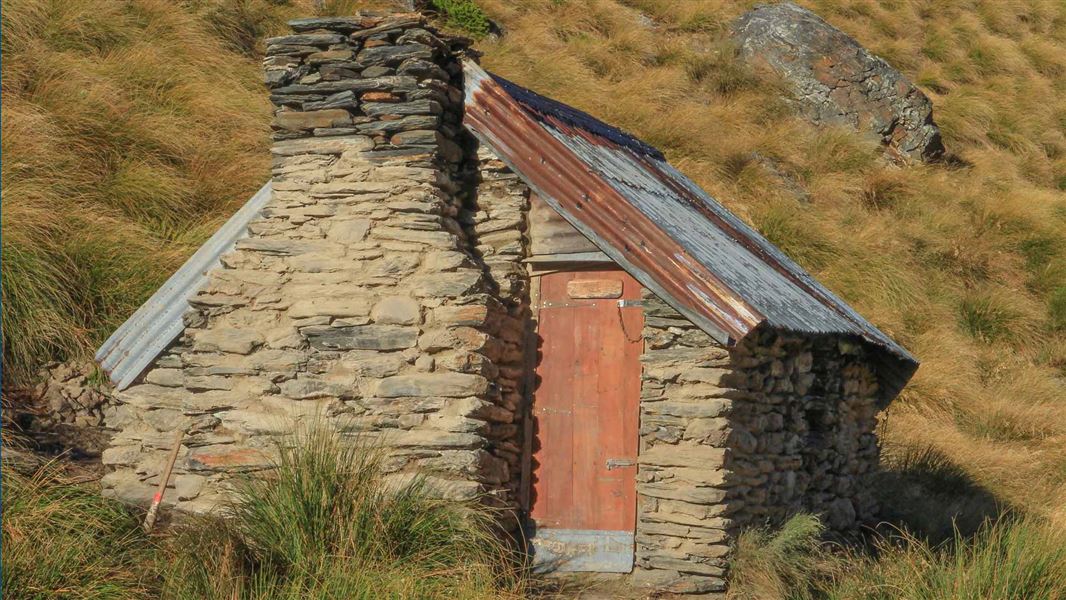
Facilities
- Sleeping platform for 2 - no bunks
- Heating - open fire
Fees
Free
There are no tracks to this hut. You'll need to navigate over public conservation land to get there.
The recommended start point is from State Highway 6, at the base of Wye Creek, into the South branch and over "Skingut pass" at Pt. 1659. The hut can also be accessed across public conservation land from Nevis road.
There's no public access to the hut via Loch Linhe Station and the adjacent 4WD tracks.
This is a backcountry hut with no DOC track access. You will need to plan your route and navigate yourself, using aids like a map, compass and GPS. Learn navigation skills.
Location
NZTopo50 map sheet: CC11
Grid/NZTM2000 coordinates: E1270196, N4989093
Stay safe when crossing rivers
If you plan to cross unbridged rivers, know how to cross safely and be prepared for if you cannot cross.
Do not cross if the river is flooded, you cannot find safe entry and exit points or are unsure it’s safe. Turn back or wait for the river to drop. If in doubt, stay out.
Whakatipu-wai-Māori/Queenstown Visitor Centre
| Phone: | +64 3 442 7935 |
| Email: | queenstownvc@doc.govt.nz |
| Address: | 50 Stanley Street Queenstown 9300 |
| Hours: | Visitor centre hours and services |
