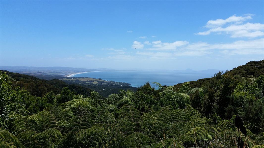
The Brynderwyn range is one of the most prominent geographical features between Whangārei and Auckland. The Brynderwyn hills stretch from the Mangawhai Heads on the east coast nearly halfway to the eastern arms of the Kaipara Harbour.
6.5 km one way
Image gallery
The track is described here from the eastern entrance on Cove Road.
From the carpark, follow the orange markers along a short bush walk that comes out on a private subdivision road. Turn left and follow this up the hill – the surfaced road gives way to a rough trail that continues to the top of the ridgeline. Follow the marked route and respect private property.
Once past the last house at the end of the road the track continues along the undulating ridgeline through a series of grassy clearings towards the trig station at 297 m. To access the trig follow a short track up the hill just past the kissing gate. Although not part of the Langsview Track this is a formed track developed by local volunteers.
From the trig, there are amazing views of the countryside – north across Bream Bay, south down the Mangawhai coast and out to the offshore islands.
Return the way you came, or connect with one of the other Tanekaha tracks that branch off Langsview Track. These other tracks lead to King Road, off Cove Road.
The track continues along the ridgeline through regenerating bush with occasional views both north and south before meeting a roadway which leads past more private houses. Another of the alternative tracks that link up with the Langsview Track branches off to the south but continue to follow the orange markers to eventually meet the end of Cullen Road and the eastern end of the Brynderwyn Hills Walk.
From here it is 7.5 km down Cullen Road to Cove Road along a narrow, unsealed road partly through areas of forestry.
You can access the Langsview Track from either its eastern or western end, or via one of the other Tanekaha tracks from the south.
Eastern entrance: The Eastern entrance is along Cove Road just south of Bream Tail Road. There is a carpark here and a short bush walk that leads to the track itself.
Western entrance: The western entrance is at the top of Cullen Road where it intersects with a forestry road. Cullen Road runs off Cove Road between Waipu and Waipu Cove. It's also a section of the Te Araroa Trail. If driving to this point, park before the water tanks. The track entrance is signposted and the track follows a private access road for resident’s vehicles only.
There is logging traffic on Cullen Road. It generally operates Monday to Friday (and occasional Saturdays) from 5 am to 4 pm. Observe any signage and traffic management instruction, particularly when felling is taking place near the road. We recommend you wear hi-viz vest and/or pack covers if walking this section.
Stop kauri disease and protect kauri
- Scrub all soil off shoes and gear.
- Use cleaning stations.
- Always stay on the track.
DOC Customer Service Centre
| Phone: | 0800 275 362 |
| Email: | whangarei@doc.govt.nz |
| Address: | Whangārei Office |
