3.8 km
Dogs with a DOC permit for recreational hunting or management purposes only. Other pets on conservation land rules.
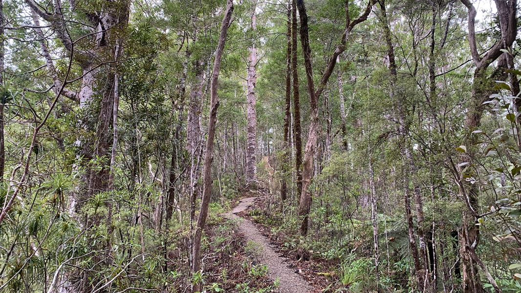
The Pukatea Ridge Track begins 7.5 km along the Pirau Ridge and descends to the lower Waipapa River Track leading to Forest Pools.
The Puketī Kauri Forest is signposted from SH10 south of Kaeo and north of Waipapa. The Forest can also be reached from SH1, north of Ōkaihau.
Take care when you leave the State Highway as you will be travelling on unsealed roads.
- High degree of skill and experience, as well as route-finding abilities required.
- No fires due to risks to wildlife.
- Carry warm, waterproof clothing, and food and drink, even on short walks.
- Stout shoes or walking boots are advisable.
- You may wish to boil water from the streams before drinking.
- For longer tramps NZTopo50 maps are essential.
- Leaving vehicles at road ends over night is not advisable due to the risk of theft.
Stop kauri disease and protect kauri
- Scrub all soil off shoes and gear.
- Use cleaning stations.
- Always stay on the track.
DOC Customer Service Centre
| Phone: | 0800 275 362 |
| Email: | bayofislands@doc.govt.nz |
| Address: | Pewhairangi / Bay of Islands Office |