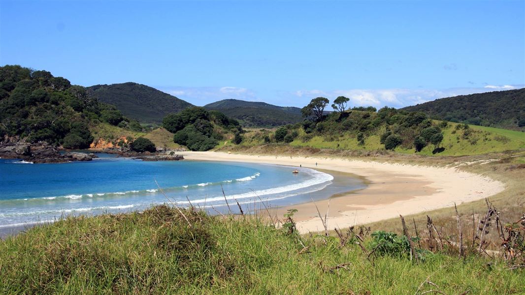
Located in Karikari Peninsula in the Northland region
3.45 km return via same track
The track begins at the Maitai campsite and ventures over farmland and manuka/kanuka shrub.
From the top left of the campste, walk along the fence line until you come to a wooden gate. From here follow the orange triangle markers journeying through native manuka and kanuka, finishing at the end of the headland.
From here you can enjoy spectacular views over the bay area, and out to the Pacific.
After your walk, take a refreshing swim in Maitai Bay’s crystal clear waters.
The Headland Track starts at the top left hand corner of the top camp at Maitai Bay Campsite.
Maitai Bay is located on the outer Karikari Peninsula, on Maitai Bay Road, about 44 km northeast of Kaitaia.
From Kaitaia, head north on SH1 until you reach Awanui, then turn right onto SH10. Continue on SH10 for 14.6 km, then turn left onto Inland Road. Continue along Inland Road for 15 km, then turn left onto Maitai Bay Rd and continue for 5 km. The Maitai Bay Campsite entrance is signposted on your right.
Note: You travel 2 km on a gravel road.
Te Hiku / Kaitaia Office | |
Phone: | +64 9 408 6014 |
Fax: | +64 9 408 6019 |
Email: | kaitaia@doc.govt.nz |
Address: |
25 Matthews Ave Kaitaia 0441 |
Postal Address: |
PO Box 569 Kaitaia 0441 |
Full office details |