2 km return via same track
This is a 1.1 km easy family friendly walk through beech and podocarp forests, past limestone outcrops, to the Ōpārara Arch. It will take approximately 30 mins.
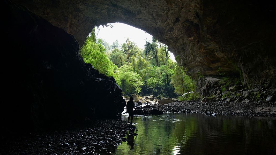
The well-formed track takes you firstly to a bridge over a small tributary stream before leading into Ōpārara River itself, then along to Ōpārara Arch. Once at the arch you can ascend a series of wooden steps to a viewpoint. You will now be standing inside the magnificent limestone arch which is reputed to be the largest one in Australasia.
The surface can be rough and uneven in places and has steep drop offs. Take care when walking this track.
Ōparara Arch is on McCallums Mill Road, north of Karamea. From Karamea, head north for about 10 km, then turn into McCallums Mill Road and follow this for about 14 km to a car park.
Note, McCallums Mill Road is a narrow and steep gravel road with a recommended speed limit of 30 km/hr. It is not suitable for large vehicles or campervans.
- Always know what the weather is doing; it can change dramatically in a short time.
- Call Paparoa National Park Visitor Centre for a weather update if required and the current track conditions.
- Always take warm and waterproof clothing as the weather can change rapidly.
- Carry and use insect repellent and sun protection at all times.
- The track does become slippery when it is raining, take extra care.
The ecosystem in this area is fragile. Help preserve nature's creations by keeping to the track and resisting the temptation to touch the highly sensitive limestone cave formations
The Ōparara Basin itself was formed 350 million years ago and was part of the seabed. The actual limestone cave systems and arches were formed in the last million years.
The area was certainly known to our early mapmakers as the arches are marked on old Karamea maps dating back to the 1880s. It wasn’t until the late 1970s that Forest Service staff working in the area stumbled across the entrance to Honeyflow Stream and a series of magnificent arches that we see today.
Paparoa National Park Visitor Centre
| Phone: | +64 3 731 1895 |
| Email: | paparoavc@doc.govt.nz |
| Address: | 4294 Coast Road Punakaiki RD 1 Runanga 7873 |
| Hours: | Visitor centre hours and services |
