Image gallery
This is part of the Te Araora Trail.
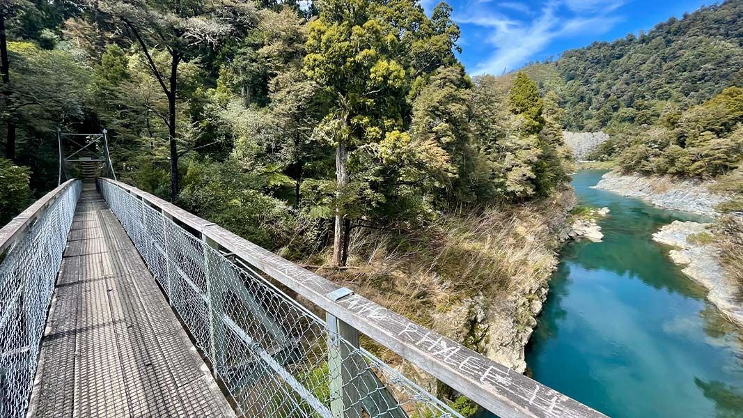
The easy Circle Walk runs alongside Te Hoiere/Pelorus River for 380 m. The wheelchair-standard path overlooks the river and goes as far as a suspension bridge. The bridge crosses the Rai River just before it feeds into the Te Hoiere/Pelorus River. You can return via the same track or continue on to the loop track.
Circle Loop Track begins beyond the bridge and becomes uneven with steps and tree roots as it makes a loop through a pocket of forest. It has short stretches with steps and moderate gradients but is otherwise flat. For part of its length the track follows the river, providing good views of its junction with the Rai River.
Circle Loop Track connects to Daltons Track, which is also part of the Te Araroa Trail. Dalton Track (14 km, 4 hr return) follows the true left bank of Te Hoiere/Pelorus River across farmland between the Circle Loop Track and Daltons Bridge (near SH 6). Follow the markers and stiles and respect the access across private land.
The reserve is located midway between Blenheim and Nelson on SH6, 18 km west of Havelock.
Always carry warm, waterproof clothes, especially on longer walks.
Take care when the tracks are wet or the river flooded.
Water safety
If you plan to enjoy the water, learn how to stay safe when swimming, boating and fishing.
Whakatū/Nelson Visitor Centre
| Phone: | +64 3 546 9339 |
| Email: | nelsonvc@doc.govt.nz |
| Address: | Millers Acre/Taha o te Awa 1/37 Halifax Street Nelson 7010 |
| Hours: | Visitor centre hours and services |
