600 m one way
Check road conditions
Severe weather has damaged many roads in the Marlborough Sounds. Before you travel to our facilities, check the latest road updates on the Marlborough District Council website.
From the uppermost camping area at Pukatea/Whites Bay, the Pukatea Walk meanders down to the cable station alongside Pukatea Stream passing through regenerating forest.
Follow SH1 to Tuamarina (9 km north of Blenheim or 20 km south of Picton). Turn off and head east via Hunter, Pembers and Rarangi Roads to Rarangi, before climbing steeply over rugged hills to where a short side road leads down to the cable station.
Whites Bay is 15 km from Tuamarina. Alternative access involves a 41 km drive from Picton along the historic and spectacular but winding and unsealed Port Underwood Road.
- Hot, dry conditions and strong, cold winds are common in this area.
- Open fires are not permitted at any of the East Coast reserves and only portable stoves should be used for cooking.
- Watch out for wasps, especially in late summer and autumn.
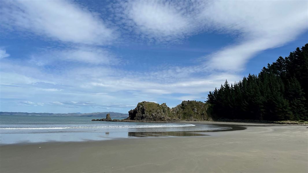
Whites Bay is named after an American known as Black Jack White who, in 1828, deserted his whaling ship and took up residence with local Māori. They in turn had long used the bay as a base for fishing expeditions in Cook Strait.
In 1866, Whites Bay became the South Island terminus of an inter-island telegraph cable. The original cable station still exists. Some of the original forest also remains, although much was burned in the early years of European settlement and is still regenerating.
Nelson/Tasman/Marlborough information
| Phone: | +64 3 546 9339 |
| Email: | nelsonvc@doc.govt.nz |
| About: | Whakatū/Nelson visitor services provide information for this area |