7 km return via same track
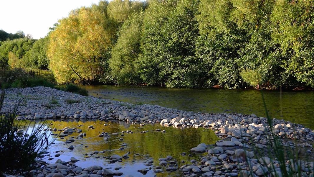
This track wanders beside Maryburn Stream so is popular with anglers. It's a public access easement through private land so please keep to the track.
Walkers can continue on to Simons Hill, a prominent feature within Mackenzie Basin. It's eastern slops contain shrublands of matagouri, small leaved Coprosma, prostrate kōwhai (Sophora prostrata) and Olearia odorata. There is swampy ground at the base of the hill so be prepared for wet feet.
The tracks starts from a gravel car park on the eastern side of SH 8 between Lake Tekapo and Twizel.
Map: NZTopo50 BZ16 Dover Pass
DOC Customer Service Centre
| Phone: | 0800 275 362 |
| Email: | info@doc.govt.nz |
| Address: | Te Manahuna / Twizel Office |
