2.6 km one way (return via Fern Walk is 7 km and 4 hr)
Brochures
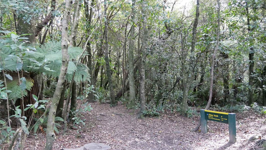
Follow Acland Falls Track from Te Wanahu Flat and turn left onto Allans Track after about 500 m.
Allans Track then joins Deer Spur before dropping steeply to Fern Walk, which can be followed back to the starting point.
This track passes through tall podocarp forest near the valley floor to the subalpine and alpine vegetation on the higher slopes.
River access: A 10 min, 800 m walking track provides access to the Rangitata River from Clarke Flat. River levels may rise rapidly following heavy rain. The track is also used by a local horse trekking business.
Start at Te Wanahu Flat.
9.5 km north of Geraldine, turn off SH72 (Inland Scenic Route) into Peel Forest Road, which becomes Rangitata Gorge Road. Clarke Flat and Te Wanahu Flat are 600 m apart on Rangitata Gorge Road, approximately 14 km from SH72.
DOC Customer Service Centre
| Phone: | 0800 275 362 |
| Email: | info@doc.govt.nz |