Access to this track is through a commercial forest. Roads may be closed at times of extreme fire danger, during high winds or for logging operations. For the latest road conditions, phone Rayonier NZ Ltd, +64 3 310 7612.
Image gallery
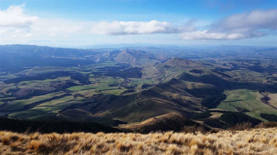
The track climbs steadily through nativebush and small areas of pine forest before opening out on to tussock slopes leading to the trig on the summit of Mt Grey/Maukatere (934 m).
Combine this track with the Red Beech Track to form a circuit walk.
From Amberley, follow Douglas Road, then Cramptons Bush Road until the road reaches the Lake Janet picnic area (17 km from Amberley). Turn left into Mount Grey Road, then right into Okuku Road to reach the Grey River picnic area (3.5 km from the the Lake Janet picnic area).
The ford is no longer accessible. Parking is at the gate.
Be aware of heavy vehicles and logging trucks on the roads.
NZTopo50 map sheet: BW23, BV23
The ford is no longer accessible. Parking is at the gate.
No mountain bikes allowed.
Wasp populations reach high numbers from January to March – wear light coloured clothing and carry antihistamine cream/tablets as a precaution.
Arthur's Pass National Park Visitor Centre
| Phone: | +64 3 318 9211 |
| Email: | arthurspassvc@doc.govt.nz |
| Address: | 104 West Coast Road Arthur's Pass 7654 |
| Hours: | Visitor centre hours and services |
