Lake Sumner Forest Park lies 100 km northwest of Christchurch between the Lewis Pass and Arthur’s Pass National Park.
From Christchurch, take SH1 north, then turn onto SH7 at Waipara. The turn-off from SH7 to Lakes Taylor, Katrine and Sumner is signposted just before the historic Hurunui Hotel.
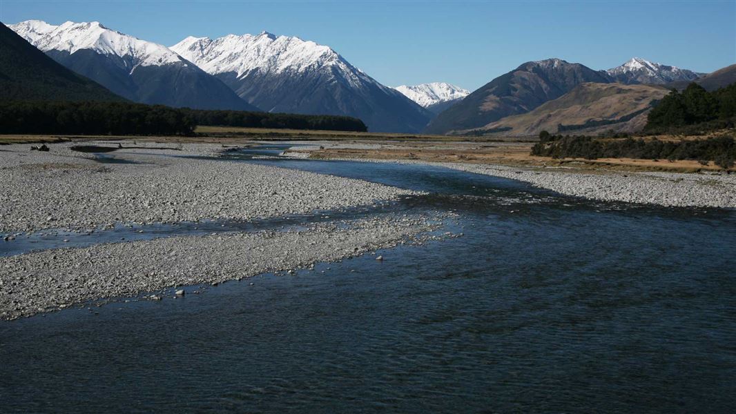
Another popular entry point is at Windy Point, further along the highway near the Boyle River.
For access to the Carlyle Hut Route from SH7 permission is required from Glenhope Station, phone +64 3 315 7697.
NZ Topo50 maps that cover the park include BT22, BT23, BT24, BU21, BU22, BU23, BU24, BV22, BV23.
Weather forecast
Vegetation
The park is mostly beech forest/tawhai, low forest and shrubland of mountain ribbonwood/houhi (on slips and gullies) and kānuka/mānuka on dry previously burnt areas; subalpine shrubland, alpine snow tussockland; and tussock grassland in the drier east.
Wildlife
At least 10 species of native fish are present in the streams and lakes. Birdlife here includes blue duck/whio, yellowhead/mohua, kea, NZ falcon/kārearea, long tailed bat/pekapeka, yellow crowned parakeet/kākāriki and great spotted kiwi/roroa.
Other features
- The Upper Hope Ecological Area, which is a representative area of vegetation gradients and park fauna.
- Lake Marion and Morris Tarn are small lakes surrounded by forest, unusual for Canterbury. They contain no exotic fish. Lake Marion is a Faunistic Reserve under Fisheries Regulations, controlled by DOC, one of only two in the South Island.
- Numerous geopreservation sites within and near the park; the Sumner lakes area has excellent relic glacial-lake features, Hurunui River hot springs, Hope River hot springs.
The area has numerous sites associated with Ngāi Tahu and Pakeha travel to and from the West Coast.
Pakeha sites include Nos 1 and 2 huts, upper Hurunui, Amuri Pass track, Dozies Hut of earth construction near upper Hurunui Gorge, road workers hut at Boyle Lodge (1930s).
Arthur's Pass National Park Visitor Centre
| Phone: | +64 3 318 9211 |
| Email: | arthurspassvc@doc.govt.nz |
| Address: | 104 West Coast Road Arthur's Pass 7654 |
| Hours: | Visitor centre hours and services |