From Christchurch, take state highway 1 north, then turn onto highway 7 at Waipara.
The turn-off to Hanmer Springs (7A) is well-signposted. Hanmer Forest is easily accessible from the township at various points.
- Sturdy footwear is essential for Chatterton River, Mt Isobel and Waterfall Tracks. Comfortable footwear is suitable for most other walks.
- Be prepared for sudden changes in weather, especially on longer walks.
- Entry to the recreation area on foot is unrestricted except in times of fire danger or for public safety. Some tracks may be closed for harvesting operations – please respect the signs.
- A red flag flying outside the information centre and community hall indicates all tracks are closed because of extreme fire danger.
- Please report all suspicious fires immediately. DIAL 111.
Wasp populations reach high numbers from January to March – wear light coloured clothing and carry antihistamine cream/tablets as a precaution.
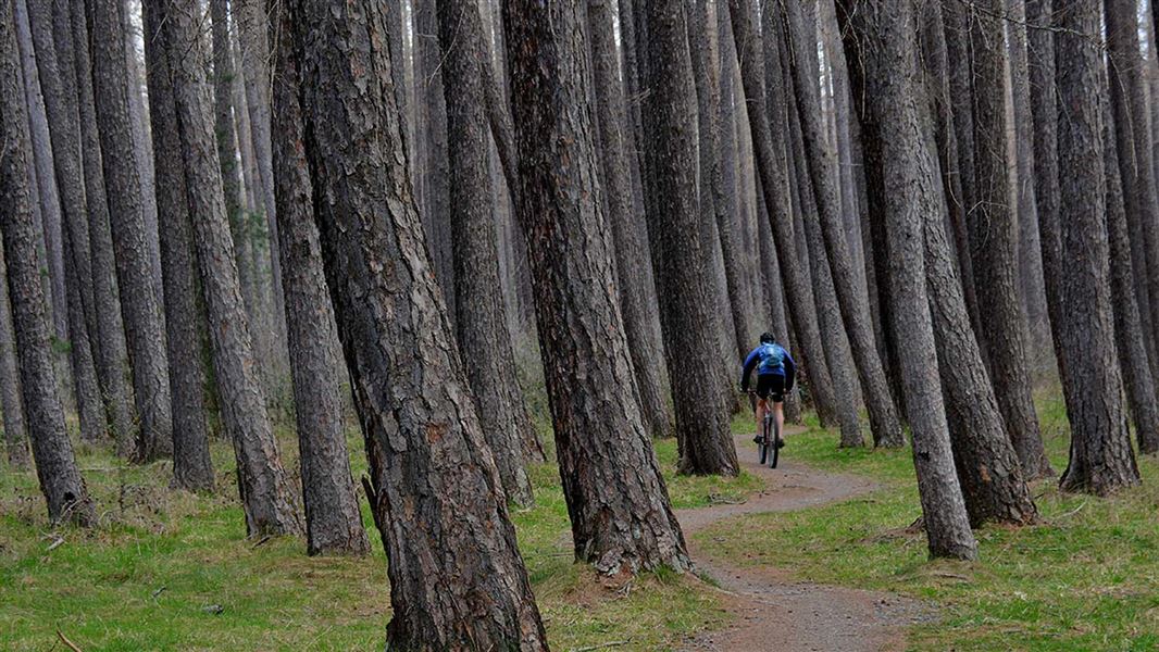
Hanmer Forest contains some of New Zealand’s oldest exotic plantings. Between 1900 and 1901, reserve land was set aside for planting exotic trees. The lowland Hanmer Basin was then a treeless tussock grass-land exposed to strong winds and climatic extremes. With the clearing, fencing, and drainage of the area, a tree nursery was established. Planting began in 1902–03. Prison labour used between 1903 and 1913, was important in establishing Hanmer Forest.
Radiata pine and Douglas fir were planted for timber production, while other species were planted to test their commercial viability and beautify the area. In 1978 forest park status was declared. In 1990 the Crown sold Carter Holt Harvey the cutting rights to the majority of the exotic forests (4,800 hectares)and in February 2000 sold the land under these forests to Ngai Tahu.
The forest park
The indigenous forest and a small proportion of exotic forest makes up the forest park, some 13,000 hectares administered by the Department of Conservation (DOC).
Mountain beech/tawhai on steep slopes protects against excessive erosion on the thin and unstable erosion-prone mountain soils. Native shrubs and subalpine plants are found above the bushline.
Birdlife
Native birds commonly found in the park are the korimako/bellbird, piwakawaka/fantail, miro-miro/tomtit, riroriro/grey warbler, titipounamu/rifleman, tui, kereru and karearea/New Zealand falcon.
Introduced birds include chaffinch, blackbird, thrush, greenfinch, goldfinch and hedge sparrow.
Arthur's Pass National Park Visitor Centre
| Phone: | +64 3 318 9211 |
| Email: | arthurspassvc@doc.govt.nz |
| Address: | 104 West Coast Road Arthur's Pass 7654 |
| Hours: | Visitor centre hours and services |