225 - 680 m
From Geraldine’s main street, it is a 10 minute stroll to the Talbot Forest Scenic Reserve. The reserve offers four easy, shady walks through a rare remnant of lowland podocarp and hardwood native forest. Picnic facilities and toilets are available.
Kahikatea Track
Time: 20 min
Distance: 683 m
This track connects Hislop Street with Totara Street picnic area. There are some fine kahikatea trees at the Hislop Street end where the land is wetter. Kahikatea can grow to be the tallest tree in the forest, reaching 40 metres.
Tōtara Track
Time: 5 min
Distance: 302 m
This track connects Totara Street with Tripp Street picnic area. Next to the track is the largest tōtara in the reserve which is estimated to be 800 years old. Tōtara were used by Māori to build canoes. A large tree could be made into a waka taua (war canoe) capable of holding 100 warriors.
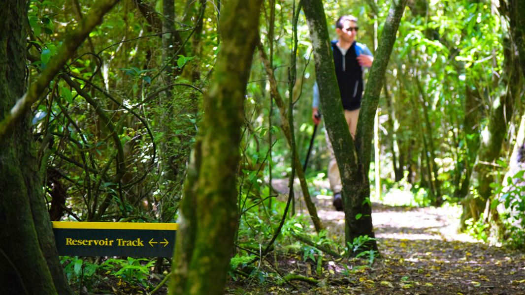
Reservoir Track
Time: 10 min
Distance: 225 m
This track connects Tripp Street picnic area with Bridge Street. The picnic area is a good starting point from which to explore the reserve.
Mataī Track
Time: 20 min
Distance: 680 m
This track connects Tripp Street with Totara Street. The track passes some impressive forest trees including mataī with its needle leaves and ‘hammered’ bark.
These walks are located near the township of Geraldine, a tranquil, rural town with a friendly village atmosphere. It is situated 2 hours (136 km) south of Christchurch, on the main highway (SH8) to Aoraki/Mount Cook.
Aoraki/Mount Cook National Park Visitor Centre
| Phone: | +64 3 435 1186 |
| Email: | mtcookvc@doc.govt.nz |
| Address: | 1 Larch Grove Aoraki/Mount Cook 7999 |
| Hours: | Visitor centre hours and services |
