9 km return via same track
The first 5 km section of this track follows an historical road, now a 4WD track. It opens up to spectacular views after the end of the 4WD track, where the route becomes more difficult.
A severe weather event in 2019 significantly impacted the track at Husky Flat, creating a large an impassable gorge. To navigate above the gorge at Husky Flat you will need good navigation and backcountry skills. There is no marked route and you are entering unstable and exposed backcountry terrain. We recommend you check in at the visitor centre for information on this route.
The moraine wall throughout this area, including along the 4WD track, is very unstable and should be negotiated with caution. You will need to move with care and skill around collapsed areas at various stages along the route.
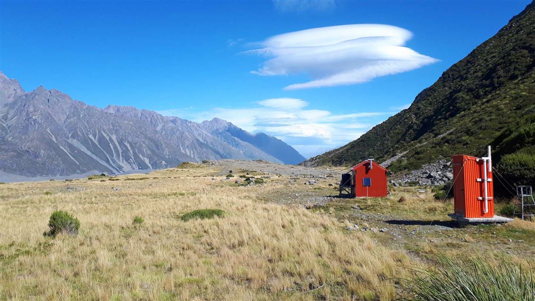
Ball Hut is close to the historic site of the first Ball Hut and offers superb views of the Tasman Glacier and surrounding peaks.
The track starts at the end of Tasman Valley Road, near Aoraki/Mount Cook village.
NZTopo50 map sheets: BX15, BX16
Some areas require high tramping skills
We recommend high level of tramping skills and experience if you’re going:
- beyond Husky Flat on the old Ball Hut Road, and
- up the east Hooker (western side) of the Ball Pass crossing.
Avalanche risk
The area around Ball Road is complex avalanche terrain. Large avalanches cross the road and track from June to November.
Call in to the Aoraki/Mount Cook National Park Visitor Centre for advice on conditions.
 No unauthorised drone use in the national park
Unauthorised use of drones is prohibited. You must have a permit to fly a drone.
DOC does not generally approve permits to fly drones in this national park and we do not recommend you apply for one.
Aoraki/Mount Cook National Park Visitor Centre
| Phone: | +64 3 435 1186 |
| Email: | mtcookvc@doc.govt.nz |
| Address: | 1 Larch Grove Aoraki/Mount Cook 7999 |
| Hours: | Visitor centre hours and services |