1 km return via same track
Image gallery
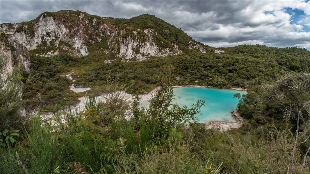
From the carpark, follow the track to the crater lake lookout. From the lookout, there are great views over a crater lake, with brown, orange and red steaming cliffs behind.
The track surface is mainly rock and clay, with tree roots.
Bike access
Bikes are not allowed on the 30 m side track to the crater lake lookout. They are allowed on the rest of the Crater Lake Walk.
Connecting track
Fitter and more experienced trampers can hike the connecting Te Tihi o Ruru Track to the summit. Allow 3 hours return for the summit hike.
Maunga Kākāramea is particularly significant to the local iwi Ngāti Tahu/Ngāti Whaoa. Stay on the formed tracks to respect this place and protect rare geothermal plants.
Maunga Kākaramea (previously known as Rainbow Mountain) lies 26 km south-east of Rotorua, beside SH 5 (the Rotorua-Taupo highway). From Rotorua, the carpark is situated just past the SH 38 turnoff (the Murupara/ Waikaremoana highway), on the left-hand side of the road.
Shared use track
- Track shared with walkers and mountain bikers.
Geothermal landscape
- Fragile and dangerous geothermal landscape.
- Stay on the track and behind barriers.
- Supervise children.
Maunga Kākaramea is home to rare geothermal plants.
Plants growing here have needed to adapt to the high temperatures, acidic soil and toxic gases. They have developed special characteristics to survive, like shallow roots, needle-like leaves and slow growth. Some mosses, liverworts and lichens can live in temperatures as hot as 70°C.
The geothermal activity on Maunga Kākaramea has cooled over the last 100 years. This has reduced the soil temperature and so means the forests are coming back.
Maunga Kākaramea means ‘mountain of coloured earth'. You can see these colours in the cliffs.
DOC Customer Service Centre
| Phone: | 0800 275 362 |
| Email: | rotorua@doc.govt.nz |
| Address: | Rotorua Office |