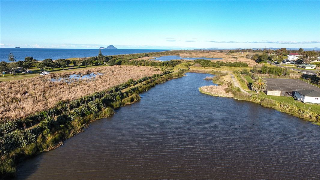
The Matatā Lagoon Track takes you on a short loop around the dunes next to the Matatā Wildlife Refuge. The Matatā lagoon is teaming with birdlife since the floods in 2005.
Much of the birdlife of Matatā Lagoon can be observed from the track. The track also gives great views out to the islands of Moutohorā and Whakaari/White Island and views down the East Coast. For those wanting to bird watch there's a shelter to sit in and observe the birdlife. Birdlife includes the elusive Australasian bittern/matuku-hūrepo or Mātātā/Fernbird.
- Starting in Matatā make your way onto Arawa Street.
- On Arawa Street there’s a sign saying Matatā Wildlife refuge and Campground. This sign shows the turn off onto a gravel road that leads towards the shore. Travel down this gravel road for 200 m until the carpark at the start of the track.
The track is also 20 metres from the Matatā Campsite.
Water safety
If you plan to enjoy the water, learn how to stay safe when swimming, boating and fishing.
Matatā means "dividing waters". Before the Rangitaiki Plains were drained the Rangitaiki River ran into the Tarawera River, and originally the area was known as Te Awa o Te Atua, or the River of the Gods.
DOC Customer Service Centre
| Phone: | 0800 275 362 |
| Email: | easternbop@doc.govt.nz |
| Address: | Whakatāne Office |
