Download the publication
Te Hiku Conservation Management Strategy (12,648K)
Or view as separate files:
- Te Hiku Conservation Management Strategy volume 1 - main document (14,212K)
- Te Hiku Conservation Management Strategy volune 2 - appendices (12,717K)
- Te Hiku Conservation Management Strategy volume 3 - maps (12,648K)
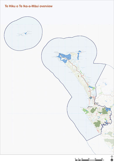
Map of area covered by Te Hiku CMS
View larger map (JPG, 397K)
Overview
The Te Hiku CMS became operative on 31July 2026, following approval by the New Zealand Conservation Authority in June 2026.
The CMS gives effect to the conservation redress approved in Treaty Settlements for four northern iwi: Ngāti Kuri, Te Aupōuri, Ngāi Takoto and Te Rarawa. It is the first CMS to be co-authored by iwi in partnership with Te Papa Atawhai.
It guides decisions on how Te Korowai (an area of public conservation land defined in Treaty settlements) lands and waters are managed, and contains policies used to assess concession applications.
The Te Hiku CMS replaces those parts of the Northland CMS 2014 that previously covered the Te Korowai area.
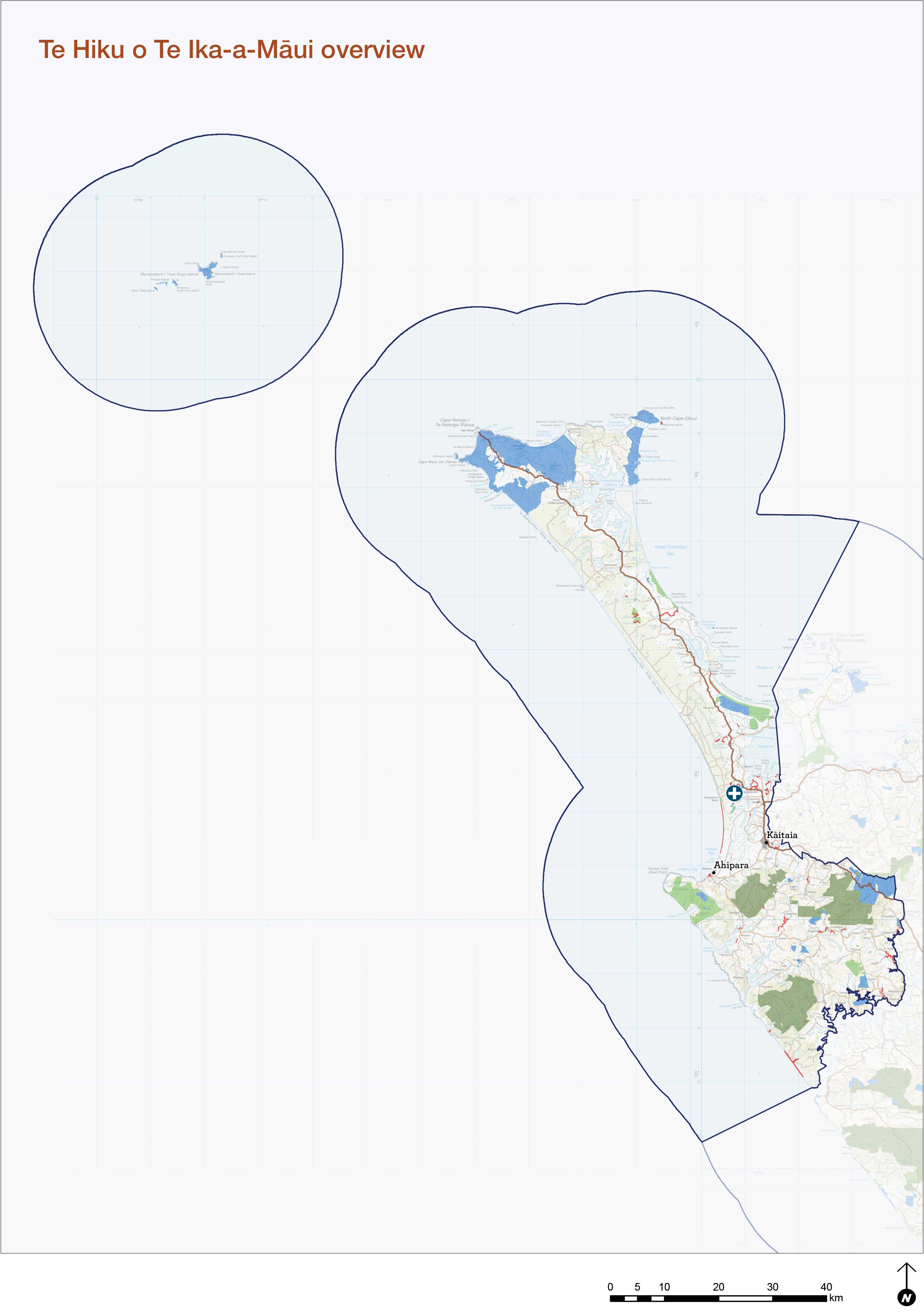
Te Korowai area extends from the Hokianga Harbour and mid-point of Rangaunu Harbour northwards to Te Rerenga Wairua/Cape Reinga and includes Manawatāwhi (Three Kings Islands).
The CMS outlines a new pathway for sustainably managing public lands, waters, and the species within them over the next ten years. It has been shaped by:
- Treaty settlements that took effect from 2015
- changes to community expectations and recreation patterns
- changes to government policy and legislation.