
Tramping is a great way to experience the nature that New Zealand has to offer
Essential tips and information from the Mountain Safety Council for a safe and successful tramp.
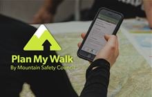
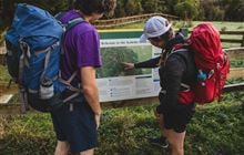
Select a DOC track to get the latest conditions and build your own plan with the Mountain Safety Council to share with others.
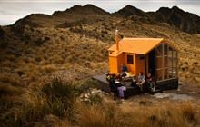
DOC manages a network of over 950 huts of all shapes and sizes. They provide unique places to stay, refuge from bad weather, or rest and recover when you're out exploring the outdoors.