Track users can stay at the shelter if the river is too high to cross safely between the Heaphy and Mackay huts.
There are panoramic views of the Heaphy valley and the suspension bridge. It's a great area for spotting whio, kea, tui, riroriro, tauhou, mātātā, korimako, miromiro, pīwakawaka and weka.
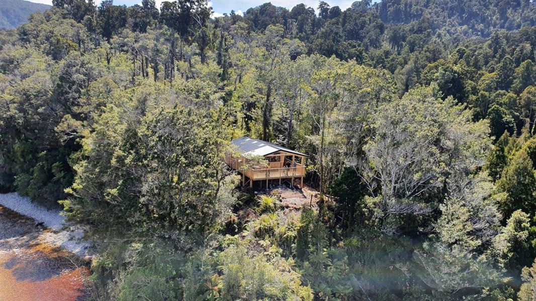
The old Lewis Hut was demolished as it was in poor condition and prone to seasonal flooding and erosion being only 10 metres from the riverbank.
Mackay Hut to Heaphy Hut on the Heaphy Track is 20 km – 6 hours walk or 3 hours bike ride. Allow for this when planning your Heaphy trip.
Location
Topo50 map: BP22
Grid/NZTM2000 coordinates: E1528247, N5467587
Contact
Nelson/Tasman/Marlborough information
| Phone: | +64 3 546 9339 |
| Email: | nelsonvc@doc.govt.nz |
| About: | Whakatū/Nelson visitor services provide information for this area |