4 km return via same track
Image gallery
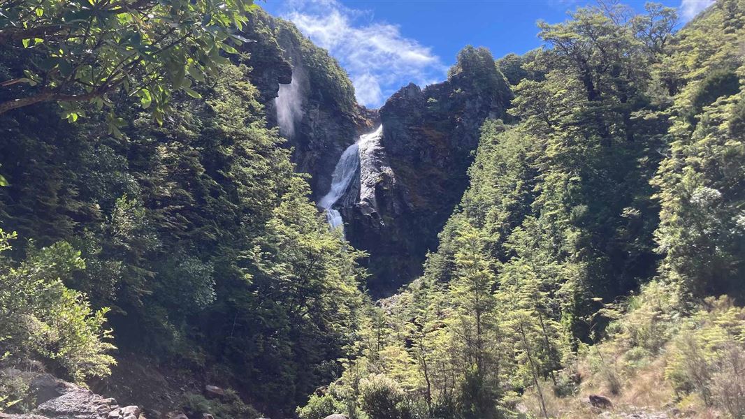
Tongariro National Park’s highest waterfall, the 39 metre Waitonga Falls, is reached via a well-formed track through mountain beech and kaikawaka (mountain cedar) forest.
On clear calm days there are fantastic views of Mount Ruapehu and the surrounding countryside. You can see reflections of the mountain in the Rotokawa pools, part of an alpine wetland area.
The track begins from the parking area 11 kilometres up the Ohakune Mountain Road.
The weather in Tongariro National Park is extremely changeable all year around. Prepare for all weather conditions:
What to take with you:
- windproof/waterproof raincoat and overtrousers
- spare warm clothing
- sturdy, comfortable shoes or boots
- food and drink
- map for unmarked routes (available at DOC offices)
- sunglasses and sunscreen
- first aid kit
Weather forecast

The track is rich in plant life, with mistletoe on the beech trees, and a variety of orchids along the banks. In the alpine wetland area, you can see sundews and bladderworts in addition to the usual larger vegetation of the bog.
Tongariro National Park Visitor Centre
| Phone: | +64 7 892 3729 |
| Email: | tongarirovc@doc.govt.nz |
| Address: | Whakapapa Village State Highway 48 Mount Ruapehu 3951 |
| Hours: | Visitor centre hours and services |